HOME RANKINGS CHALLENGES ROUTES NEAR ME PLANNING SEARCH LOGIN
Italy - Trentino-Alto Adige/Südtirol, BZ
2023/03/06 08:48:37

Alpe di Siusi da Campodazzo

35 Downloads
3
 
Share
Author
nonnocarb
(292)
Place
Italy - Trentino-Alto Adige/Südtirol, BZ
Km
70,00 km
Elapsed time
08:49:48
Vertical meters
+2 200 mt (402 - 2081)
Route difficulty
Landscapes
Last update
2023/03/06 15:28:02
Comments
0
Description

Very challenging itinerary in terms of elevation gain and trails, but very scenic and fun.
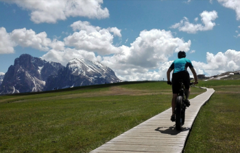
From Campodazzo you go up on a secondary road to the village of Fiè. From here you go up to the small lakes of Fiè and then on a nice trail on a false plain to Siusi. You climb to the Seiser Alm as much as possible on secondary roads and then on a very steep road to the Spitbuhel hut.
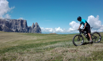
Here begins a fantastic panoramic trail over the Seiser Alm to the Molignon hut. You descend to Saltria, climb up on a steep trail to Ritsch and then descend to Val Gardena, Ortisei, on a very challenging trail.
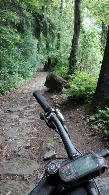
You climb to Passo Pinei and descend on fun trails to Castelrotto. From here you descend to Ponte Gardena on a nice paved trail and return to the start on a bike path.
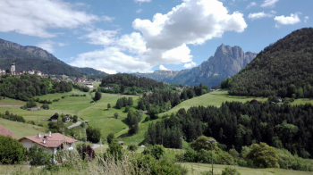
Download our free mobile app to send this route to your Garmin device or to navigate it on OSM maps. Android - iOS
Local weather
Tonight
-4 °C
Tomorrow
0 °C
Tomorrow night
-7 °C
Wednesday
4 °C
Wednesday night
-5 °C
Thursday
6 °C
Thursday night
-2 °C
Friday
6 °C
Friday night
-1 °C
Saturday
6 °C

Graph

Nearest Routes

2024/05/27
- Italy - Trentino-Alto Adige/Südtirol, BZ
nonnocarb
(292)
68,82 km
Km
+2 300 mt
Vertical meters
Route difficulty
Landscapes
2023/02/26
- Italy - Trentino-Alto Adige/Südtirol, BZ
nonnocarb
(292)
38,20 km
Km
+1 601 mt
Vertical meters
Route difficulty
Landscapes
2022/10/22
- Italy - Trentino-Alto Adige/Südtirol, BZ
nonnocarb
(292)
39,26 km
Km
+1 886 mt
Vertical meters
Route difficulty
Landscapes
2023/03/04
- Italy - Trentino-Alto Adige/Südtirol, BZ
nonnocarb
(292)
50,79 km
Km
+1 800 mt
Vertical meters
Route difficulty
Landscapes
2023/02/26
- Italy - Trentino-Alto Adige/Südtirol, BZ
nonnocarb
(292)
36,49 km
Km
+1 550 mt
Vertical meters
Route difficulty
Landscapes
2023/02/26
- Italy - Trentino-Alto Adige/Südtirol, BZ
nonnocarb
(292)
18,87 km
Km
+935 mt
Vertical meters
Route difficulty
Landscapes
2023/02/07
- Italy - Trentino-Alto Adige/Südtirol, BZ
nonnocarb
(292)
44,09 km
Km
+2 044 mt
Vertical meters
Route difficulty
Landscapes
2023/03/07
- Italy - Trentino-Alto Adige/Südtirol, BZ
nonnocarb
(292)
36,18 km
Km
+1 590 mt
Vertical meters
Route difficulty
Landscapes
2022/09/19
- Italy - Trentino-Alto Adige/Südtirol, BZ
37,99 km
Km
+1 851 mt
Vertical meters
Route difficulty
Landscapes
2023/02/26
- Italy - Trentino-Alto Adige/Südtirol, BZ
nonnocarb
(292)
39,56 km
Km
+1 700 mt
Vertical meters
Route difficulty
Landscapes

0 Comments