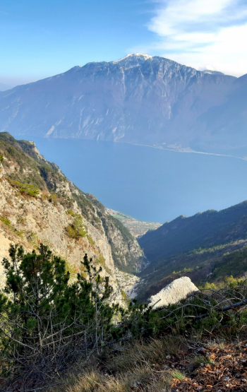
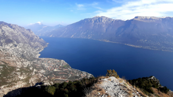
Punta della Selva, Cima dei Sospiri, Dalvra, Bestone, Val Pura
AM spectacular itinerary for views and fun, really complete. Everything you can find on the Alto Garda Bresciano - Trentino is here, condensed in one ride.
Suitable for rather experienced bikers with good and safe riding skills, recommended MTB full from AM-Enduro.
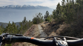
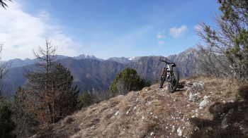
Departing from Limone del Garda, go up the provincial road to Tremosine to Vesio, reaching the beginning of the Bondolo Valley. Here turn right and climb the old military road of Corno della Vecchia that leads to Passo Nota, up to an altitude of 1080, at a junction with right-hand signs for Punta della Selva. Climb a few hairpin bends to the col at elevation 1230, where the trail (163) begins to reach the Punta, m 1281 (10-minute bike ride). Continue briefly downhill substantially with bike alongside, then push and shoulder to Cima dei Sospiri, m 1266 (15-20 minutes total). Here begins the first spectacular descent to Bocca dei Sospiri, m 1000. Now push uphill for a few minutes to Dalvra Alta, then resume the descent along a truly spectacular trail (always 163) that ends at Fornaci, m 725.
Practically opposite begins the climb, mostly rideable but steep, with 5-10 final minutes on push trail, which in about fifty minutes leads to the top of Monte Bestone, m 917.
The descent begins by retracing the south ridge of the ascent; after the first hairpin bend, continue straight ahead on a gently ascending, northbound trail that soon descends in tight switchbacks to a meadow. Continue along the trail halfway to the left now level, now uphill. Below, the slope plunges into the wild, spectacular gorge of the Pura Valley. The trail ends at a small dirt road coming from the Fornaci locality and heading into the Pura Valley. Follow the small road to the right until you reach the beginning of the descent trail to Limone. Fairly well known descent, really spectacular, technical, with some exposure and a few challenging passages (not to be underestimated, BEWARE especially, beyond about halfway down, of a sharp left hairpin bend on a slippery slab, DANGEROUS, to be tackled on foot). At the end of the trail, the starting point is easily reached.


 Italiano
 Deutsch