Anello enduro Chiavari
Loop retracing the specials of the 2015 Chiavari Ultraenduro with some additions.
The start is from the Chiavari hospital square, the lower part is mixed disc/blue zone, while the upper part is white.
At the exit of the parking lot take a right uphill and at the stop sign take another right uphill. When you reach the next left turn take a left onto the paved road to Leivi. The climb alternates between some tears and other flat parts. After about 2 km take at the sign of the hamlet of Curlo take a right on asphalt, on via Belvedere. At the end of the asphalt you will find yourself in front of a fountain and on the left some stairs.

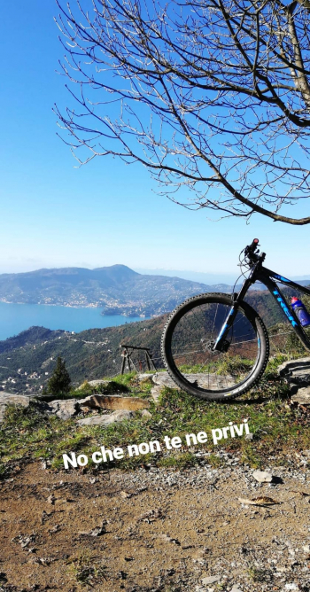
After climbing those stairs take the uphill path to the right and follow it to the fork where you will take a right, skirting a monastery. At the end of the path continue straight on dirt road, at the first bend to the right you will find a path in front of you that will lead you to a flight of stairs and then to the asphalt, where you will take a left and then an immediate right. After a hundred meters take the asphalt right after the parking lot, after a few dozen meters follow the path to the right. After passing some stairs uphill a single track begins that will lead you to the start of the PS ABBRACCIALBERI, which starts at the crossroads where you will take a right. When you get to the clearing take a left downhill, where you will find two trails: the leftmost one is ABBRACCIALBERI 2, to the right ABBRACCIALBERI. This trail follows the ABBRACCIALBERI, but both join at the end, at a small picnic area, where you will take the small bridge that crosses the brook and once you arrive on asphalt you will start the climb to the left. Steep climb but still on good asphalt with zero traffic. At the only fork follow to the left. At the end of the climb you will find on the right an asphalt road to follow, after a hundred meters there is a bar but it is possible to pass with bikes and on foot. Follow the road all the time and you will come to a staircase to climb, then a short link in asphalt and then on dirt road. At the end of the dirt road go right and then right again on trail following the 5 Torri trail. After a fun up and down the trail will become dirt, keep following downhill and at the first fork follow right on downhill trail with a fun trail. At the end of this you will be on asphalt, follow it left uphill. You will come out on a larger paved road, take a right and you will arrive at Bocco di Leivi, where you will follow right and then left to Villa Oneto. After passing through the hamlet continue on asphalt uphill, arriving at the restaurant Il Galletto, located on the right, from whose clearing you can see Santa Margherita and Mount Portofino

Continuing for a few hundred meters on asphalt you will arrive at a hairpin bend to the right, on the left begins the ANCHETTA trail. Not an easy trail to follow in the initial part because of the many lines present, although the main one is well visible. Stay on the main path until the forest opens up and after skirting a small stone wall that is on your right you will cross the fork for IL DENTISTA, which ends in a wide clearing, where taking the path to the right will bring you to the church of Maxena, in whose forecourt there is a drinking fountain. Follow the asphalt right downhill, and at the next fork take a right uphill towards Sanguineto and Campodonico. You will arrive at the end of the asphalt; on the left you will glimpse the promontory of Portofino. At the end of the asphalt take the cemented road to the left and then the path again to the left. Follow the path to the right when you cross the road and then at the end of the path follow the creuza downhill to the left which then becomes asphalt. At the fork follow straight on asphalt that then narrows and becomes a cemented path and then a natural-bottomed trail, where you will have to be careful to choose the right line to keep the flow. At the fork take a right following to the Shrine of Grace and then right again. After about ten meters you will find a trail on the left that descends; follow it and you will arrive at the Shrine of Graces. Unfortunately it is not indicated on maps and it is not possible to mark it. If you continue straight instead you will arrive on the Aurelia, follow it downhill and before the Gallery take a right uphill, past the shrine from the left will come the unmarked track. At the end of the steps take the path downhill to the right, you will come first to a World War II bunker, then to a fork where you will take a right. Be careful, the path descends via steps and the presence of the railing makes it difficult to pass by bike. Instead stay to the left, you will find a track that runs parallel to the path and avoids this part. You will then arrive at the asphalt, take a left, and following the trail you will find yourself at the hospital parking lot.


 Italiano
 Deutsch