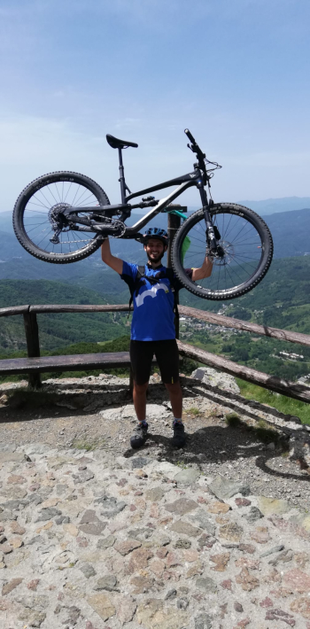
Santo Stefano d'Aveto
Itinerary that traces two PS of the Ultraenduro done in Santo Stefano. The ideal start is in the village or even better from the departure of the lifts in Rocca d'Aveto, where there is a convenient parking lot. Having in front of the start of the chairlift you take a right on the dirt road and immediately meet the source, I recommend you fill your water bottle here. After two deadly but rideable ramps you take the dirt road to the right in the direction of Passo della Lepre and follow it until you cross the road that goes up to the Tomarlo pass, take a left and after a hundred meters you will meet another spring. Past the Tomarlo you continue on asphalt keeping to the right toward the province of Parma and the Zovallo pass. Asphalt that you abandon a kilometer after the Tomarlo to take the cobblestone uphill towards Prato Grande, where there is a passable gate on the right. Take this fork and not the previous one because it is not rideable. Always follow the dirt road until you reach the Prato Grande refuge, pass it and you are on a track in the middle of the grass, at the first fork take a left and try to tackle the ramps that appear in front. Here pay attention, you have to take a path on the left that is not really visible, which will take you to the saddle between Mount Bue and the Maggiorasca, here take a left and climb to the top of the mountain, where there is a statue of the Madonna of Guadalupe. You are on the highest peak in the northern Apennines, if the weather is kind, the view is breathtaking.

With your back to the statue and observing the antennas take the path to the right that proceeds halfway up the mountain, following it you return to Tomarlo Pass with one of the most beautiful descents in the area. Here if you want you can refuel with water at the spring by descending to the right for about a hundred meters to the right, otherwise take a left and retrace all the road you took previously until the barely visible fork on the left. Here take a right and you will find yourself on Mount Bue, not on the saddle between Bue and Maggiorasca. Here you can descend to the Onion Meadow following the ski slopes, the blue on the right and the red on the left. At the Onion Meadow you will find a hut and the spring.
Resume the route by following the path that goes away on the flat towards slopes 1 and 2 of the bike park, but you take a right towards the Astass hut. After a beautiful single track in the woods follow left again to the Astass hut, once there take the path to the right that starts immediately after the hut, proceeding to the Red Grotto. At the first junction take a left downhill and after a short while you are on the Groppo Rosso, exit the trail to lean out into the Avetana valley and fill your eyes with the stupendous view. Once you restart, follow the main trail keeping right at the first fork and left at the second fork. At the third fork follow to the right and descend along the ridge, at the end of the trail descend to the left, the trail turns into a mule track that leads you to just above Santo Stefano, here you can descend to the village or return to Rocca on the asphalt road.


 Italiano
 Deutsch