Italiano
 Deutsch
Sestri Levante Enduro
Physically destructive ride, I recommend not doing it in summer because of the heat and not on nice days to avoid as many pedestrians as possible on the Sant'Anna and Mimose descents in their respective lower parts.
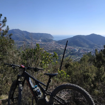
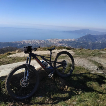
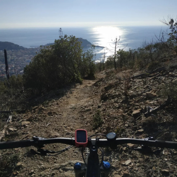
From the free parking lot in Sestri all ascent on asphalt, towards the middle you lose a bit of elevation gain (100 meters) but at least you are nice out of traffic and pass through nice hamlets, after which you climb the last scarce km on dirt road that becomes a nice bikeable singletrack up to the first anticima where there is a lookout (I recommend pause here and not after), photo op and continue again with a small climb up to the top of Mount Rocchette where, however, there is no view as from the anticima.
Down to the left for the first descent from the summit: the "Capernardo": nice singletrack on dirt and a few fixed rocks, then a few relaunches and then down again to the dirt road and away continue straight again where an undergrowth of pine forest begins, a few pedal strokes uphill and away begins a sea of fixed rocks in canyon with tenic passages.
Uphill first on asphalt and then a dirt part that we will repeat 4 times until the end of the day. Once up, as first descent awaits us "Lotus": spectacular technical right on dirt and rocks. Ascent as the previous one and this time we continue to the left where at the trivium we start with the left trail "Cà Gianca": also here mix dirt and fixed stones with beautiful technical passages, total enjoyment.
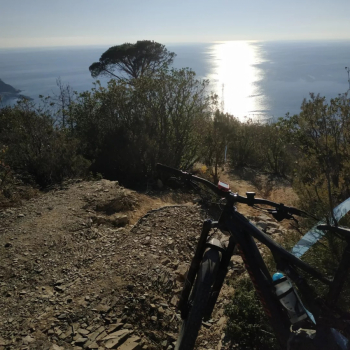
Ascent on asphalt always with sea view and then common dirt road and this time at the trivium we continue straight to "Mimosa": technical descent on rock, the only flaw (unexpected) is that in this trail there are a lot of pedestrians especially in the lower part, so take into account to go with brakes pulled ready to stop and give way safely, beyond the physically destructive technicality that will force you to take breaks. Sea view finish, beautiful
Last ascent and last descent in similar context to the previous one, with a detour at the trivium to the right for the last descent "Cani" and "Sant'Anna," again on rock with technical passages and last part sea view. Here, too, I found nice groups of pedestrians. At a final fork I made a mistake and descended by "Roman Bridges," an easy but walking trail, one must instead continue straight for the MTB line.
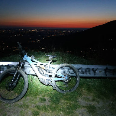
58 km | 2262 D+ | 6h with e-bike.