Italiano
 Deutsch
GOLDSEE TRAIL

Here we are describing one of the most spectacular trails that exists in the Stelvio National Park area.
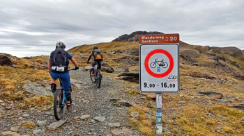
Immediately a premise: the trail is prohibited from 9 a.m. to 4 p.m. so it should be tackled before or after these times. My advice is to leave the day before and sleep at the Stelvio Pass.
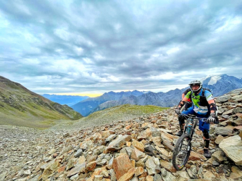
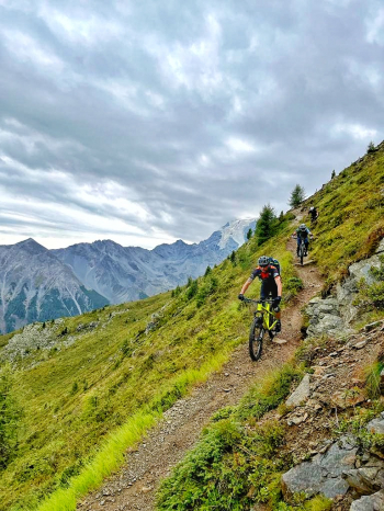
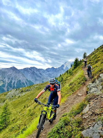
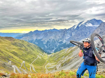
From the Stelvio Pass ( 2,758 m ) we climb into the saddle and immediately face a climb to reach the Garibaldi Hut ( 2,830 m ) where the view will be breathtaking with theOrtles Mountain in front of us as the backdrop to our adventure. The GOLDSEE begins, which will make you feel "suspended" on the mountainside with a feeling of infinite freedom. The trail is really well groomed and apart from a couple of points where you have to be careful you will ride it at a steady speed. The environment around you is Oscar movie and in the silence of nature you will travel it all in one breath. When you reach Rifugio Forcola ( 2,155 m ) you can catch your breath before tackling the second part of the tour. We will now have to regain altitude before tackling a very long up&down section to reach Malga Stelvio di Sopra ( 2,077 m ) where with one last climb we will take us for the entrance with the final trail to Glorenza.
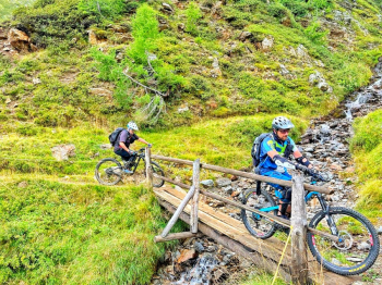
This will be a blasting treat, with never-difficult passages, flow, smosso, roots and lots of fun.
Arriving in Glorenza ( 940 m ) a ride through the village will be due before taking the bike path back into the green and returning to Prato allo Stelvio.
RECOMMENDED ROUTE FOR ALL MOUNTAIN BIKE and E-BIKE ALL MOUNTAIN.
NB: At the time of entry this ride is all doable without any particular problems. We disclaim any responsibility for any inconvenience due to lack of trail maintenance or deterioration of the trails due to external and/or natural agents and incorrect evaluation of the tour.