HOME RANKINGS CHALLENGES ROUTES NEAR ME PLANNING SEARCH LOGIN
Italy - Veneto, BL
2022/08/12 21:28:03

Falcade - 3 malghe

7 Downloads
1
 
Share
Author
gmzolenart
(115)
Place
Italy - Veneto, BL
Km
18,78 km
Elapsed time
04:11:02
Vertical meters
+873 mt (1140 - 1981)
Route difficulty
Landscapes
Last update
2023/01/03 16:58:53
Comments
1
Description

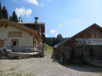
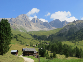
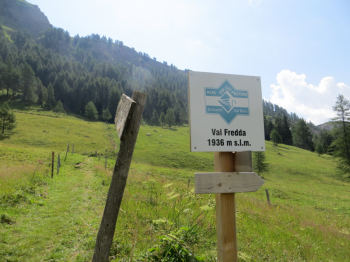
Start from Falcade and from Provincial Road 346 you will reach Lago Zingheni, Malga Boer. This is followed by Malga Col de Mez and Valfredda: after passing the first huts, it is necessary to reach the entrance of the path leading to Forcella de i Marmoi ,following the signs for Malga Ai Lach. The path narrows and becomes steeper, but the climb is short. From the fork you start descending towards Malga ai Lach: this is a fun singletrack, never steep. After the gastronomic digression you straddle the bike again and follow the dirt road that starts at the foot of the malga, continue on the main track until you reach a junction where there are three roads: the one on the right leads back to Passo San Pellegrino, the other two both lead to the village of Valt, the one on the left is the most challenging, never beyond technical difficulty bc. From Valt the main road leads back to Falcade.
Download our free mobile app to send this route to your Garmin device or to navigate it on OSM maps. Android - iOS
Local weather
Tonight
-4 °C
Tomorrow
8 °C
Tomorrow night
1 °C
Saturday
9 °C
Saturday night
0 °C
Sunday
9 °C
Sunday night
0 °C
Monday
7 °C
Monday night
-2 °C
Tuesday
7 °C

Graph

Nearest Routes

47,96 km
Km
+1 788 mt
Vertical meters
Route difficulty
Landscapes
2023/03/09
- Italy - Trentino-Alto Adige/Südtirol, TN
civi65
(106)
38,63 km
Km
-2 300 mt
Vertical meters
Route difficulty
Landscapes
2024/07/30
- Italy - Trentino-Alto Adige/Südtirol, TN
Paoloc1
(66)
58,28 km
Km
+2 850 mt
Vertical meters
Route difficulty
Landscapes
2024/08/06
- Italy - Trentino-Alto Adige/Südtirol, TN
Paoloc1
(66)
40,24 km
Km
+2 250 mt
Vertical meters
Route difficulty
Landscapes
2023/09/04
- Italy - Trentino-Alto Adige/Südtirol, TN
Paoloc1
(66)
56,19 km
Km
+3 146 mt
Vertical meters
Route difficulty
Landscapes
2024/01/02
- Italy - Trentino-Alto Adige/Südtirol, TN
@ff.mtb
(9)
53,65 km
Km
+1 800 mt
Vertical meters
Route difficulty
Landscapes
2022/12/13
- Italy - Trentino-Alto Adige/Südtirol, TN
Staff
(84)
53,59 km
Km
+3 140 mt
Vertical meters
Route difficulty
Landscapes
2023/02/26
- Italy - Trentino-Alto Adige/Südtirol, TN
nonnocarb
(292)
17,68 km
Km
+770 mt
Vertical meters
Route difficulty
Landscapes
2023/02/26
- Italy - Trentino-Alto Adige/Südtirol, TN
nonnocarb
(292)
19,49 km
Km
+790 mt
Vertical meters
Route difficulty
Landscapes
2023/07/17
- Italy - Trentino-Alto Adige/Südtirol, TN
gmr
(4)
42,95 km
Km
+1 500 mt
Vertical meters
Route difficulty
Landscapes

1 Comments