2022/10/30 19:44:46
Hill of Turin - Moncalieri - trails 2, 4, 31,12,16
Author
Place
Italy - Piemonte, TO
Km
33,60 km
Elapsed time
04:09:50
Vertical meters
+942 mt (231 - 713)
Route difficulty
Landscapes
Last update
2022/10/30 22:07:24
Comments
Description
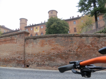
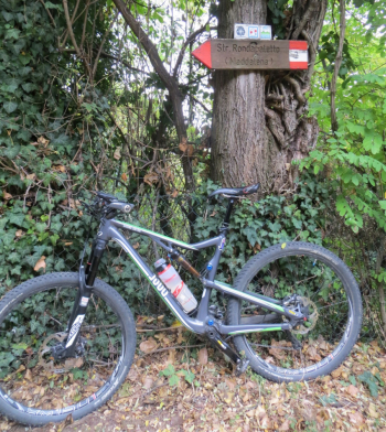
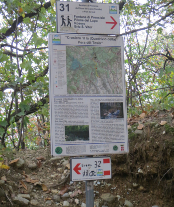
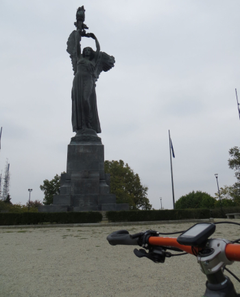
Departure from Balbis Bridge, along the Po to Moncalieri passing through Vallere Park. Then ascent on asphalt to the Castle and then alternation of trails, dirt tracks (S.Brigida road, trail no.2, Rondapaletto dirt road, Eremo road) and side roads on the south side of the Hill between Pecetto and the Eremo (trails 4, 31). From the Hermitage nice trail 12 reaching the Maddalena Lighthouse. From the Hill last and fun descent on trail 16 that allows you to descend to Turin almost entirely on single-track.
Fraternali publisher no.18 Collina di Torino - Trail map (1:25,000)


Local weather

°C

°C

°C

°C

°C

°C
Graph
Nearest Routes
40,57 km
Km
+478 mt
Vertical meters
Route difficulty
Landscapes
29,06 km
Km
+541 mt
Vertical meters
Route difficulty
Landscapes
22,43 km
Km
+850 mt
Vertical meters
Route difficulty
Landscapes
2022/10/13
- Italy - Piemonte, TO 32,77 km
Km
+1 005 mt
Vertical meters
Route difficulty
Landscapes
23,21 km
Km
+900 mt
Vertical meters
Route difficulty
Landscapes
24,82 km
Km
+786 mt
Vertical meters
Route difficulty
Landscapes
17,80 km
Km
+700 mt
Vertical meters
Route difficulty
Landscapes
15,08 km
Km
+204 mt
Vertical meters
Route difficulty
Landscapes
15,66 km
Km
+157 mt
Vertical meters
Route difficulty
Landscapes
25,02 km
Km
+1 009 mt
Vertical meters
Route difficulty
Landscapes


 Italiano
 Deutsch