Italiano
 Deutsch
Cima Rossa di Martello
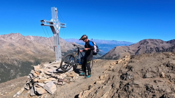
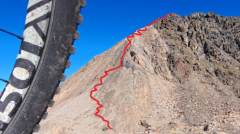
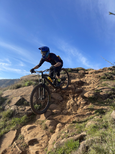
This exciting mountain biking excursion starts from the last parking lots in the Upper Martello Valley. We take the easy Trail 37, which starts off invitingly, but after a short while things change and we begin pushing and carrying our bikes for short stretches, climbing about 250 meters in elevation. We then join Trail 31, keeping to the left: this trail will take us all the way to the summit, with a significant climb and the bike practically always on our shoulders. And, just to top it all off, there’s also a beautiful roped-off section: about 100 meters of elevation gain that make up the final stretch of the climb—and which we’ll have to tackle again on the way back. Maybe it was the exhaustion, or perhaps the excitement, but I can’t describe the joy I felt upon reaching the summit with my beloved MTB on my shoulders—especially since the night before, the manager of the Genziana had “declared” this hike impossible.
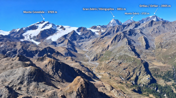
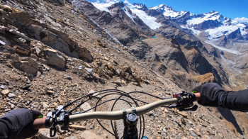
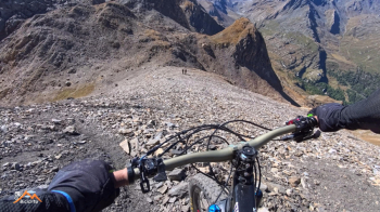
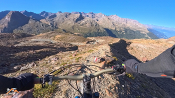
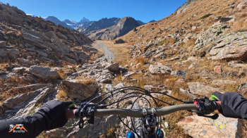
The landscape is nothing short of breathtaking: the Ortles-Cevedale massif right in front of you seems close enough to touch, and that imposing Gran Zebrù looms from every direction. The descent starts directly from the summit cross and continues to the beginning of the equipped section. Here, of course, you descend with the bike securely strapped to your shoulders until you reach the end of the cable; another 4–5 meters with the bike by your side, and then finally back in the saddle. The terrain is very steep but offers excellent grip, providing a thrilling descent all the way to the base of the pyramid. Be careful, shortly after the roped-off section, to keep to the left and take Trail 27A toward the Martello Hut. From the base of the Rossa to the Martello Hut, the long traverse is very scenic, spectacular, and incredibly secluded, but also decidedly strenuous.
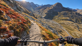
You’ll tackle numerous ups and downs, accumulating about 250 meters of elevation gain, and not the entire descent is rideable: in some sections, you’ll need to walk your bike. The sections where you can ride, however, more than make up for the effort, and the summit of a very long moraine is simply fantastic. From the Martello Refuge, you set off again, enjoying the ride. Halfway down the descent, the trail gets trickier, and in some sections, you’ll have to walk your bike again. In the second half, however, you’ll be back in the saddle with great satisfaction, passing by the beautiful Nino Corsi Mountain Hut and then continuing—with lots of fun—all the way back to the car. I arrived completely exhausted—even though the distance and elevation gain may seem modest—but absolutely thrilled because every meter, whether uphill or downhill, was a discovery.
This trip is recommended exclusively for enthusiasts of this type of ride: not much pedaling uphill, plenty of walking with the bike, a magnificent setting, and a descent that makes the adventure worthwhile even from a downhill perspective.