

 Italiano
 Deutsch
2026/09/27 21:31:33
Rawikautz trail e Pantalone trail
Author

Place
Slovenia
Km
21,96 km
Elapsed time
04:55:54
Vertical meters
+1 254 mt (843 - 1612)
Route difficulty
Landscapes
Last update
2026/09/28 08:25:54
Comments
Description
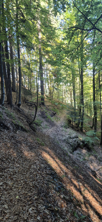
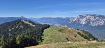
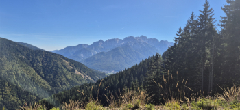
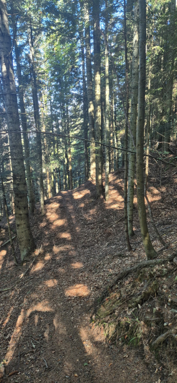
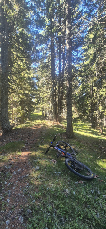
Zone 3: Borders (Italy, Austria, Slovenia)—exciting new trails by FrEe Ul BiKeRs. From Podkoren, you reach the Wurzen Pass via a paved road. On forest trails marked by challenging gradients, you’ll conquer the summits of Mount Rawikautz and Mount Hahnenwipfel (ridges of the Karawanken Mountains). The respective descents toward the pass are a lot of fun: the first is steep and rough for the first half (with some fallen trees), while the second, from Mount Hahnenwipfel, is spectacular (flow). Difficulty: S2. The return to Podkoren follows a fun S1 trail.
Local weather
Tue 00:00

10 °C
Tue 12:00

13 °C
Wed 00:00
12 °C
Wed 12:00

12 °C
Thu 00:00

11 °C
Thu 12:00
7 °C

Graph
Nearest Routes

20,42 km
Km
+710 mt
Vertical meters
Route difficulty
Landscapes

11,17 km
Km
+400 mt
Vertical meters
Route difficulty
Landscapes
2026/10/10
- Italy - Friuli-Venezia Giulia, UD 25,90 km
Km
+1 311 mt
Vertical meters
Route difficulty
Landscapes

41,56 km
Km
+1 461 mt
Vertical meters
Route difficulty
Landscapes
2025/08/17
- Italy - Friuli-Venezia Giulia, UD 28,07 km
Km
+1 173 mt
Vertical meters
Route difficulty
Landscapes
18,79 km
Km
+1 100 mt
Vertical meters
Route difficulty
Landscapes
18,75 km
Km
+1 000 mt
Vertical meters
Route difficulty
Landscapes

59,02 km
Km
+2 827 mt
Vertical meters
Route difficulty
Landscapes
42,09 km
Km
+1 600 mt
Vertical meters
Route difficulty
Landscapes
32,90 km
Km
+1 560 mt
Vertical meters
Route difficulty
Landscapes