Italiano
 Deutsch
Bike Park di Capoliveri: tra miniere, crinali e single track.
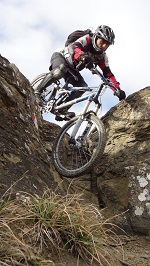
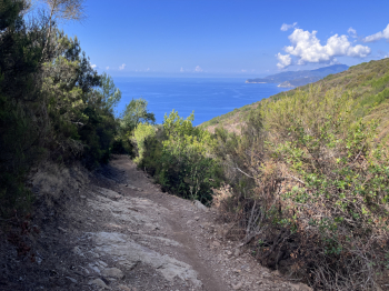
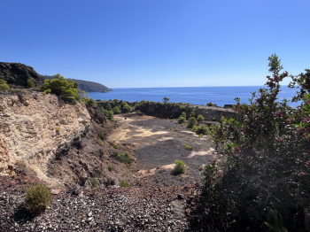
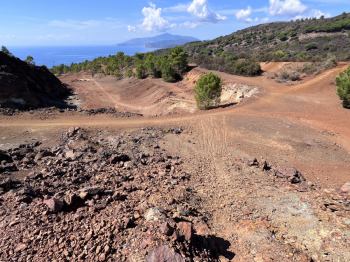
A great selection of trails at the Capoliveri Bike Park. Among the many options available, we’ve chosen the ones that, in our opinion, offer the most distinctive and technically challenging routes for an e-bike enduro ride. The route starts at the roundabout in the upper part of Capoliveri and begins with an ascent on paved road before turning onto a dirt trail toward Monte Calamita, following the route of the CLC Capoliveri Legend Cup. It’s a challenging climb, but perfectly rideable even on an e-bike. Once you reach the ridge, take a single track and, shortly after, keep to the right to tackle a first short, flowing descent, classified as S1. This is followed by a nice traverse that ends with a fast descent on the access road leading to the Calamita Mine. Before reaching it, however, turn right onto a small trail that descends toward the old mines: an S1 section with a few steep S2 sections—very fun and definitely scenic.
The descent continues toward Capo le Francesche, where the old quarry machinery is still visible. Here, it’s worth following the trail closely, as it features a couple of interesting technical sections, including a steep section rated S2. After a short climb, keep to the right again to descend toward the beautiful Cannello Beach and Punta Rossa. From here, climb back up toward Miniera Calamita along a gently sloping dirt road, which is now part of the CLC route. You then continue uphill on a trail, followed by a scenic traverse that gradually gains elevation until reaching the upper dirt road. At Fosso del Calestrone, keep to the right to take the small trails in the Poggio Polveraio area. Here too, once you’ve cleared the ridge, the choice of trails is truly remarkable: it ranges from the more accessible S1 trails to the more challenging S2–S3 trails, featuring short but decidedly tough drops capable of testing even the most experienced riders.
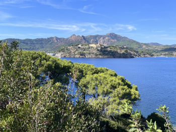
You then cross the plateau below Poggio and begin climbing again along a beautiful single track—at times technical but always rideable—which leads to the next S1-S2 descent heading toward the Tenuta di Ripe Alte. After passing through the estate’s tourist area, you’ll take a new uphill singletrack toward Poggio Fino, which offers stunning views and features a few technical sections that add some extra excitement to the ride. This is where the final descent toward Cala Grande begins: a smooth and very fun singletrack, with a few sections where you’ll need to push your bike but no major difficulties, classified as S1. Only in the final stretch does the trail become a bit more technical, though it still maintains a distinctly “flow” feel (S2).
You ride along the beach and then tackle a steep uphill trail: expect to push your bike for about ten meters before reaching the crest at San Francesco. Here, take the beautiful trail that descends toward Narengo, passing through Forte Focardo (1,700). From Narengo, you’ll soon reach Mola on paved road, where the route ends in the parking lot near a supermarket.