

 Italiano
 Deutsch
Passo San Marco e Via del Ferro

The Via del Ferro in Val Brembana is a historic hiking trail about 25 km long that connectsthe Valtorta Ecomuseum to Mezzoldo. It follows the ancient mule trails and paths once used by miners, passing by former mines, forges, and ancient medieval villages. We’re covering part of it. The route begins just outside the village of Olmo, where there are several parking lots, and climbs up to Passo San Marco on a paved road.
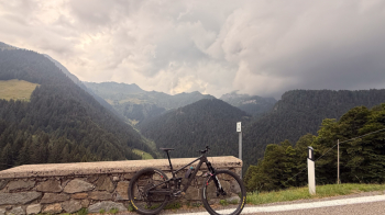
I did this ride on July 15, 2026, and there was very little traffic; there’s probably more on weekends. In any case, the road is pleasant to cycle on, and there are several water fountains and places to stop for a bite to eat along the 1,400-meter climb to the pass. Once at the top, the Valtellina valley opens up before us.
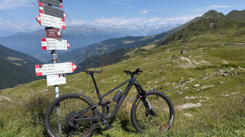
The road would continue down to Morbegno, but we turn our bikes around and descend along a cobblestone path—the Via Priula—which follows the route of the ancient trade route built in 1593. (Note: If you have an e-bike, you can follow Via Priula uphill—it’s steeper and more direct than the paved road, but definitely more fun.)
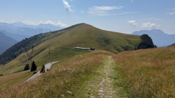
Once we cross the pass road again, we immediately leave it behind, keeping to the right on a hillside trail that will take us through several pastures with some ups and downs and a few sections eroded by cows and the elements.
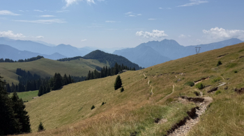
This brings you to the woods, where the trail becomes steeper but remains at difficulty level S2, with one S3 rock section. There are also very short sections over loose rocks and a few where the trail is a bit muddy, but all in all, you can ride almost the entire way.
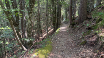
The best part is the Via del Ferro, which is perfectly clear and truly fun, partly because it’s a series of ups and downs that requires a bit of energy.
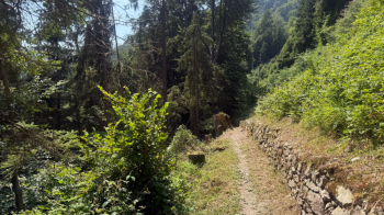
You continue for kilometers along this beautiful trail. I didn’t encounter anyone on July 15, neither on foot nor by bike.
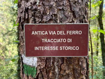
Once you reach the Acquacalda fountain, follow the dirt road for about a hundred meters and you’ll be back at the starting point.


