
 Italiano
 Deutsch
Via del ferro

The Upper Brembana Valley is a gold mine for mountain biking, and the Via del Ferro is one of its most precious veins. This trail shares about 60% of its route with the famous Cantedolto trail, but branches off to offer a different perspective and an XC-style finish. A complete loop that combines challenging climbs, high-altitude views, and technical descents that are never boring.
The Ascent: From Piani dell’Avaro to Mincucco
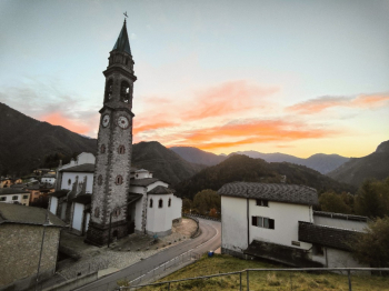
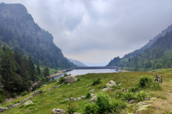
The ride starts in Olmo al Brembo. The first part of the climb follows the classic trails of the area (Val Moresca, Mincucco): the road climbs steadily, never too rough, until reaching Piani dell'Avaro. Here, a stop is a must to refill your water at the fountain in the playground (on the right). Things get tough right after that: a concrete path with brutal gradients pushes us up to an elevation of 1,900 meters. The last 50 meters usually require carrying your bike due to the extremely loose surface. Bonus Track: If you still have energy left, this route includes a detour to the Laghetti di Ponteranica, a corner of alpine paradise worth every drop of sweat.
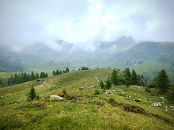
Mincucco and the Panoramic Traverse
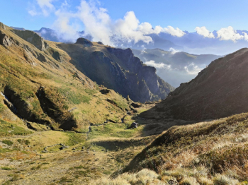
We continue toward the Mincucco, alternating between pushing and short stretches of pedaling, before diving into a first descent on an S2-rated alpine trail, which only gets tricky in the last 50 meters, reaching S3/S4 levels. Instead of descending directly, we climb back up toward Passo San Marco. Before hitting the asphalt, we keep to the right, taking a spectacular traverse: the view here is top-notch, a natural balcony that, with a few climbs and short downhill sections, leads us to the start of the “main event.”
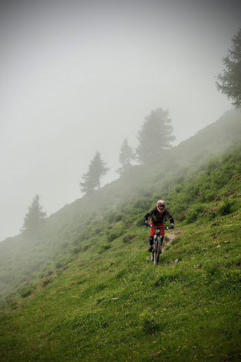
Descent and return: from rough terrain to XC
The main descent toward Mezzoldo is a delight for those who love active riding: the trail never gets boring, alternating between rough sections and constant technical passages rated S2/S3. Just above the village of Mezzoldo, the trail veers off to connect with the actual Via del Ferro. Here the character of the ride changes: the finale is a long XC-style “cruise.” Although it’s not the most exciting stretch for those seeking pure downhill, it allows you to complete the loop by returning to Olmo al Brembo while maintaining a good pedaling rhythm.
Trail style: All-mountain
Personal rating: Views 9/10; Descents 8/10
MTB: Yes
EMTB: Yes
Duration: approx. 6.5 hours (by MTB)
Portage: 50m
Ascent difficulty: Rideable, but the 150m section after Piani dell’Avaro is very challenging
Descent difficulty: S2/S3, S1 XC style in the final section
Exposure: Nothing significant
Draining: YES
Water points: Olmo al Brembo


