Italiano
 Deutsch
La Traversata dei crinali: Prana, Prano e Spranga
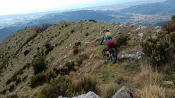
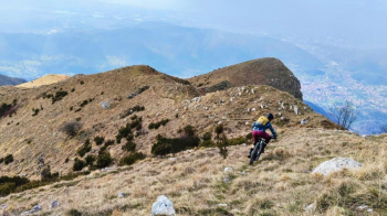
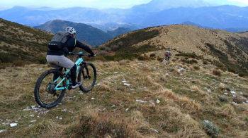
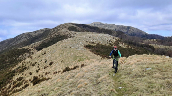
A stunning traverse through open, panoramic mountain terrain—arguably the most beautiful in the southern Apuan Alps. The best combination of the Prana’s enduro descents.
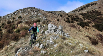
It features three peaks: first at high altitude between Monte Prana and Monte Prano (a short detour if you wish to include Pedone as well), then along the Spranga ridge down to the village of Buchignano. The long descent route winds through alternating grassy ridges and rocky sections, with continuous ups and downs in the first part and a very steep second part featuring challenging technical sections of mixed scree and rock that require precise navigation.
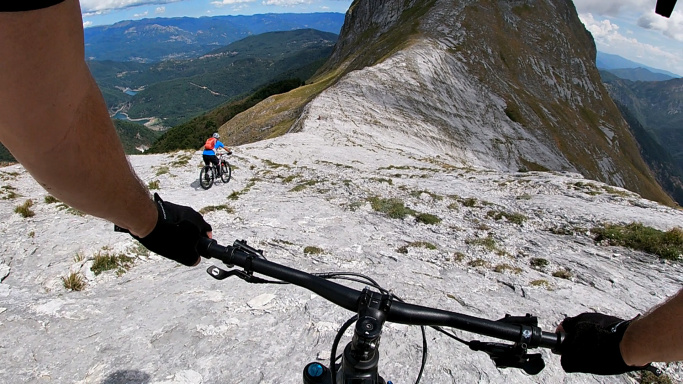
The descent allows for no distractions and requires control, clear thinking, and excellent technique on steep terrain. Difficulty S3 with S4 sections. It should be noted that the Spranga-Buchignano trail was restored and cleared this winter by the Lo zoccolo enDuro group, restoring passability to a trail that truly deserves to be highlighted. A complete traverse: scenic, physically demanding, and technical, passing through diverse environments.
To reach the summit of Prana, you pass through Gombitelli, a quaint village famous for its cured meats (available for purchase at the village shop before entering the village), then proceed past Baita Barsi (water source) and continue pedaling to the mouth of the San Vincenzo stream. From here, you’ll need to push your bike to the summit of Prana. From the summit, the long, fun descent to Buchignano begins. We recommend attempting this route only during dry periods to ensure maximum traction and on clear days to enjoy the view of the Tyrrhenian Sea.