

 Italiano
 Deutsch
2025/11/19 09:54:24
Macugnaga
Author

Place
Italy - Piemonte, VB
Km
13,43 km
Elapsed time
02:42:23
Vertical meters
+350 mt (1244 - 1408)
Route difficulty
Landscapes
Last update
2025/11/19 09:59:51
Comments
Description
Easy itinerary with no technical difficulties, suitable for everyone, to discover Macugnaga and its surroundings, with spectacular views of Mount Rosa.
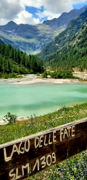
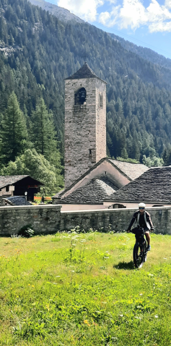
From the Macugnaga camper area we first pass by Pecetto superiore, with its old Valser houses, then the Tambach waterfall, the ancient church of S. Maria, then the center of Macugnaga, and finally up to Lake delle Fate, reaching the bottom of the valley in the beautiful larch forest.
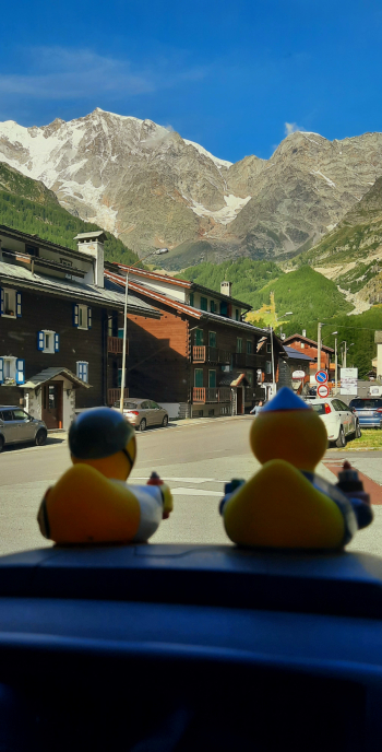
You then return along the Anza stream to the RV area.
Local weather
Mar 00:00

9 °C
Mar 12:00

10 °C
Mer 00:00
8 °C
Mer 12:00

11 °C
Gio 00:00

5 °C
Gio 12:00
10 °C

Graph
Nearest Routes
2023/08/27
- Italy - Piemonte, VB 
24,19 km
Km
+2 086 mt
Vertical meters
Route difficulty
Landscapes
2023/08/27
- Switzerland 66,49 km
Km
+1 916 mt
Vertical meters
Route difficulty
Landscapes
2023/08/27
- Italy - Piemonte, VC 15,35 km
Km
+1 667 mt
Vertical meters
Route difficulty
Landscapes
2023/08/27
- Switzerland 27,22 km
Km
+1 332 mt
Vertical meters
Route difficulty
Landscapes
18,02 km
Km
+1 780 mt
Vertical meters
Route difficulty
Landscapes
2024/08/30
- Italy - Valle d'Aosta, AO 
16,70 km
Km
+1 050 mt
Vertical meters
Route difficulty
Landscapes

40,53 km
Km
+1 800 mt
Vertical meters
Route difficulty
Landscapes
32,97 km
Km
+1 613 mt
Vertical meters
Route difficulty
Landscapes

15,13 km
Km
0 mt
Vertical meters
Route difficulty
Landscapes

12,15 km
Km
+122 mt
Vertical meters
Route difficulty
Landscapes