

 Italiano
 Deutsch
2025/11/16 10:25:28
Da Villabassa ad Auronzo
Author

Place
Italy - Trentino-Alto Adige/Südtirol, BZ
Km
93,21 km
Elapsed time
04:33:06
Vertical meters
+1 900 mt (839 - 1756)
Route difficulty
Landscapes
Last update
2025/11/18 09:35:31
Comments
Description
Rather long and challenging tour, but with beautiful views and no technical difficulties, perfect to do by gravel.
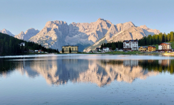
Start from Villabassa or Dobbiaco, along the bike path up to Carbonin and then by road to Misurina. From here beautiful bike path to Auronzo.
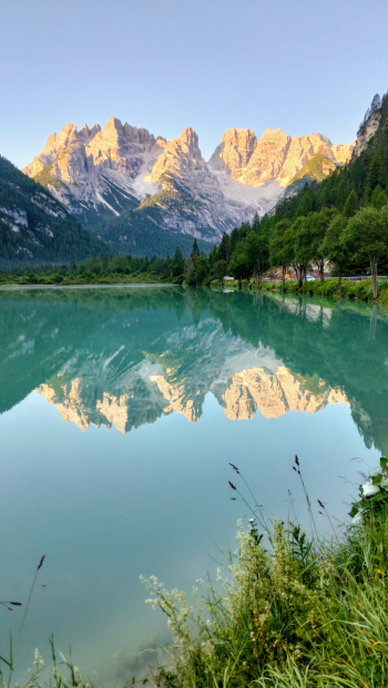
Go up to the S. Antonio pass on a road with little traffic, go down to Padola and up on a bicycle path to the Montecroce pass.
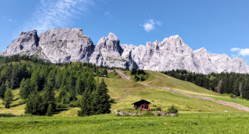
From here descend to Sesto and San Candido and then to the start. Also doable in the opposite direction, although the climb to Misurina is quite challenging.
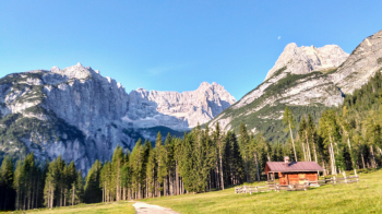
Local weather
Tue 00:00

8 °C
Tue 12:00

12 °C
Wed 00:00
9 °C
Wed 12:00

11 °C
Thu 00:00

7 °C
Thu 12:00
7 °C

Graph
Nearest Routes
71,87 km
Km
+1 820 mt
Vertical meters
Route difficulty
Landscapes
76,61 km
Km
+2 400 mt
Vertical meters
Route difficulty
Landscapes
35,05 km
Km
+505 mt
Vertical meters
Route difficulty
Landscapes
2023/03/04
- Italy - Trentino-Alto Adige/Südtirol, BZ 37,05 km
Km
+1 550 mt
Vertical meters
Route difficulty
Landscapes
30,64 km
Km
+890 mt
Vertical meters
Route difficulty
Landscapes
2024/07/25
- Italy - Trentino-Alto Adige/Südtirol, BZ 56,06 km
Km
+1 900 mt
Vertical meters
Route difficulty
Landscapes
20,17 km
Km
+1 136 mt
Vertical meters
Route difficulty
Landscapes
55,01 km
Km
+1 450 mt
Vertical meters
Route difficulty
Landscapes
28,95 km
Km
+1 110 mt
Vertical meters
Route difficulty
Landscapes
2023/02/26
- Italy - Trentino-Alto Adige/Südtirol, BZ 34,09 km
Km
+1 420 mt
Vertical meters
Route difficulty
Landscapes