Forcella Ambrizzola da Alleghe
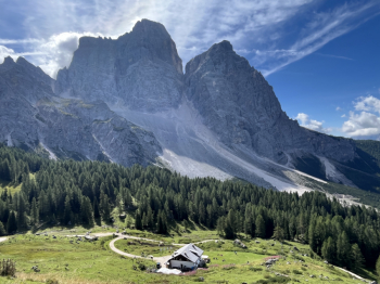
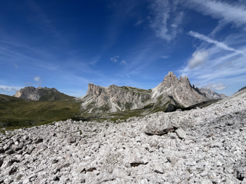
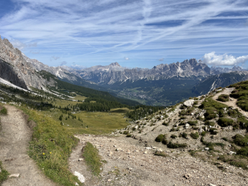
Beautiful and scenic hike between Alleghe, Cortina, Averau and Colle Santa Lucia. Start from Alleghe and go up by asphalt to the plans of Pezze and from here by the quiet forest road to Malga Vescovà. Then proceed by forestry with a few ups and downs to Passo Staulanza, short descent on asphalt and then take the forestry that climbs to Rifugio Città di Fiume. Continue by forestry and the hard uphill sections increase to Malga Prendera. Here begins the hardest part of the climb to Col Duro; pedalability less than 50%, the rest pushing (but the walk is a great help).Continue on a trail over boulders across a scree to the Ambrizzola Fork, and then descend the wide trail (firm, loose rock) to the Palmieri hut (descent not particularly technical but hikers beware).From the Palmieri take the cai 431 trail, which starts out wide and flowing with a few roots, then becomes more technical and in the final trialistic part with a couple of passages at the limit of feasibility. In the final part follow the trail and not the road in held because it is devastated.
You arrive on a forest road a few meters from the Macaron hut (on the left). Continue on the forest road to the Pezè de Paru bridge. Left on asphalt a few hundred meters then take a forest road on the right (cai 424) that starts wide and then becomes a single track slightly uphill; a little damaged in the final part, with a short push uphill. Then left for the climb to the 5 Torri. Long ascent on asphalt, gradual. After the refuge a few hard scrambles to the Averau refuge. After a short downhill stretch on track take a right and after a short tear begins a beautiful and scenic single track that descends to the slopes of the Pore; a few technical passages, but still smooth on loose rock and slight exposure to the left. You arrive on the plateau in front of the Pore and then follow to the right the path that descends to Lanzorei and then Colle. It is a fast single track, with a few passages on rocks and steps, but very fun (a few short relaunches) and a couple of jerks before skidding off to descend to Colle Santa Lucia. Here you follow local trails to Caprile and then the bike path to Alleghe.


 Italiano
 Deutsch