Monte Losetta ed il Re di Pietra, Val Varaita
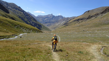
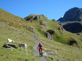
Cyclo-mountaineering hike with backpacking bike sections where we reach 3054 meters of Mount Losetta in the presence of Monviso. Important is to have clear skies as Monviso often hides behind clouds. The start is from one of the roadside parking lots between Rifugio Alevè and the village of Castello (very busy in July and August and weekends, so you need to arrive early in the morning to avoid problems). We start climbing from the Vallanta valley where, after the first deadly push ramps, you can pedal on. Keep in mind that if done in the morning the Vallanta valley is shaded.
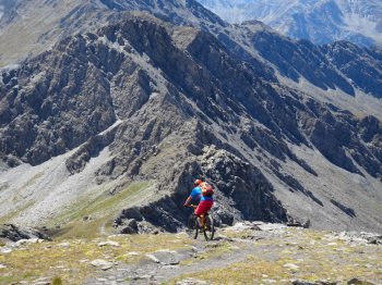
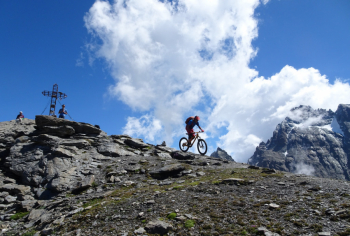
You pedal and push for short stretches until a few hundred meters before the refuge and Lake Vallanta from where the trail to Passo della Losetta indicated by a stake starts. We are at about 2400 meters and until the 2872 of the pass you always carry the bike on your back. At the pass there are still about 200 meters of elevation gain to be made always with bike on shoulder in the presence of Monviso. Once at the top, if the Stone King is not covered by clouds, you can indulge in photos and videos.
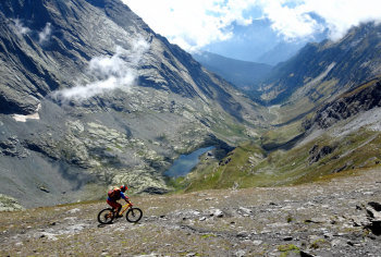
The descent to the pass is on the route taken on the way up, and care must be taken not to get too close to the overhangs on the left side. Once you reach the Losetta pass you descend into the Soustra valley. In the upper part we find a few technical passages that disappear as we descend to become a hyper flow path. The Soustra valley ends at a hairpin bend of the paved road leading to the Agnello Pass. If you still have more you can, just before you get to the asphalt, turn dry left and take the trail that leads to the Savigliano Refuge (there are 200 meters of elevation gain on bristly trail). The trail descends to asphalt to Chianale where we pass on the other until we intercept the flow of the Crotto trail. Stop at the bar at Ponte Chianale bridge and asphalt along the lake until we find the car again.
Itinerary that can also be walked in the opposite direction although for us this is the best way. Not a difficult itinerary but it is still a cyclo-mountaineering route where there are about 700 meters of elevation gain of not difficult backpacking bike and several push bike sections.
Please refer to the photoreport for more information.


 Italiano
 Deutsch