
 Italiano
 Deutsch
2025/07/17 14:22:49
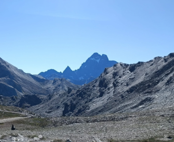
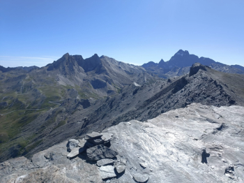
Pic de Caramantran
Author

Place
Italy - Piemonte, CN
Km
48,95 km
Elapsed time
08:53:55
Vertical meters
+3 048 mt (1815 - 2985)
Route difficulty
Landscapes
Last update
2025/07/18 18:04:36
Comments
Description
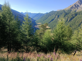
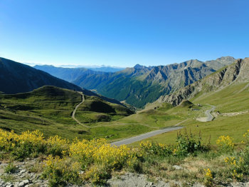
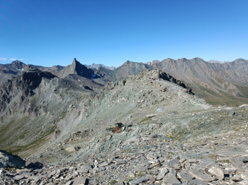
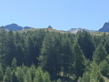
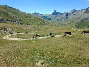
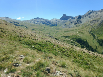
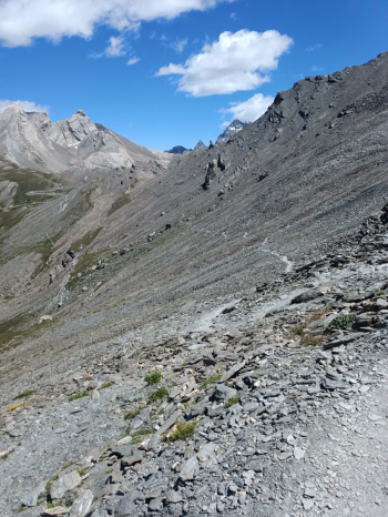
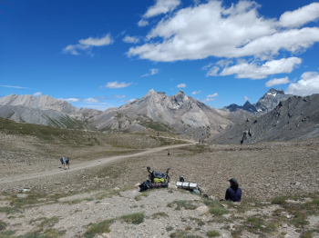
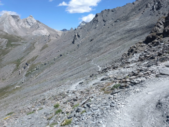
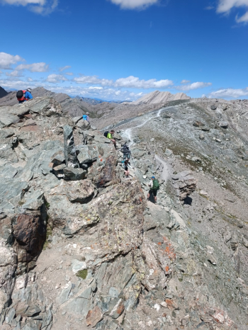
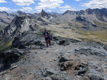
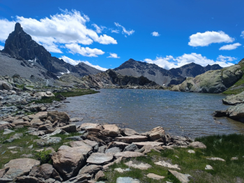
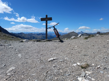
High-mountain environments in a tour that plays on the border line between Italy and France taking advantage of the bitumen offered by the Agnello pass, but also the flow descents of the Queyras and finally, at the end of the day, the descent scassato\tecnica that from the Blanchettes pass takes you back to the car left in Chianale. Suggestive views and environments with a maximum altitude of 3040 meters (Caramantran peak) that is touched 2 times in the whole tour.
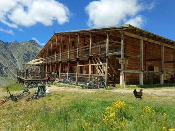
Some bike backpacking, but I consider this normal in the mid/high mountains. While the descent is 98% done in the saddle. "Safe" water is found at the refuge so after more than 2,000 meters of elevation gain .
.

Local weather

°C
°C
°C
°C
°C
°C
Graph
Nearest Routes
23,14 km
Km
+1 700 mt
Vertical meters
Route difficulty
Landscapes
13,14 km
Km
+620 mt
Vertical meters
Route difficulty
Landscapes
19,89 km
Km
+1 485 mt
Vertical meters
Route difficulty
Landscapes
26,61 km
Km
+1 567 mt
Vertical meters
Route difficulty
Landscapes
37,90 km
Km
+2 876 mt
Vertical meters
Route difficulty
Landscapes
26,54 km
Km
+1 489 mt
Vertical meters
Route difficulty
Landscapes
33,54 km
Km
+1 962 mt
Vertical meters
Route difficulty
Landscapes
38,12 km
Km
+1 552 mt
Vertical meters
Route difficulty
Landscapes
24,01 km
Km
+1 255 mt
Vertical meters
Route difficulty
Landscapes