
 Italiano
 Deutsch
Val Moresca, Laghetti di Ponteranica

Very nice tour in Val Brembana with optional variant bike climb to ponteranica ponds. The tour is within the reach of almost everyone, in fact in case you don't want to do the shoulder part you can avoid the climb to the ponteranica ponds and pull straight up to Mincucco. The climb is the same as the Mincucco Cantedolto trail.
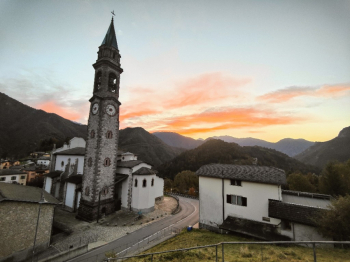
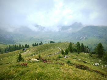
Start from Olmo al Brembo up and on a road that is never too steep we climb to the Avaro plans (water in the playground on the right). We continue on cemented road with very challenging gradients up to 1900 meters (last 50 meters push for too bumpy bottom). We bike up by trail to Bocchetta Pass Triomen at 2200 meters.
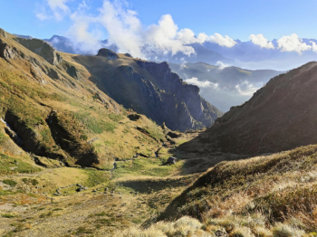
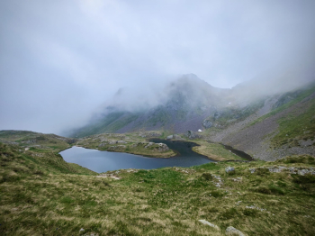
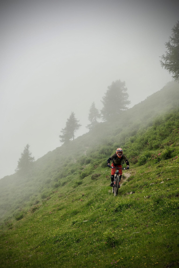
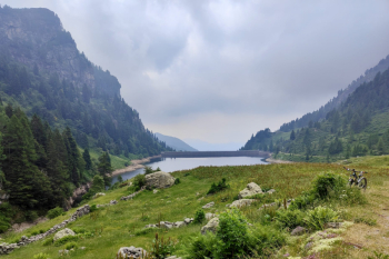
We descend from alpine trail S2 with S4 passes to Ponteranica lakes, beautiful!
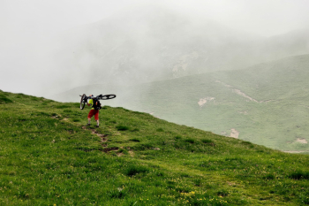
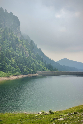
We continue from trail S3 with S4 passes to elevation 1950 meters (or variant less technical descent from this trail). We continue to Mincucco with push sections and then descend by nice alpine trail S2 with last 50 meters S3/4. We keep to the right and head toward the Val Moresca dam. We continue passing under the dam and then by very nice trail, never too technicalo, S2+ with S3 passages, initially the bottom is very bumpy, then it keeps rocky but less challenging. When you reach Averara (water) you take the classic fast and very nice descent to Olmo al Brembo with several relaunches and a few exposed points off trail.

Trail style: all mountain
Personal Rating: Panoramas 9/10; Descents 9/10
MTB: Yes
EMTB: Yes (if you are scared of pushing it, avoid the small lakes of Ponteranica)
Duration about 6.5h (by mtb)
Portage: 120/180m
Difficulty uphill: A few challenging climbs but well rideable in general
Difficulty descent: S2/S3 a few sections S4 in the upper part
Exposed: Some off-trail sections in the final traverse towards Olmo al Brembo
Draining: YES
Water points: Olmo al Brembo, Averara after the descent from Val Moresca


