Italiano
 Deutsch
Forcella Clautana

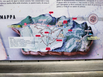
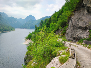
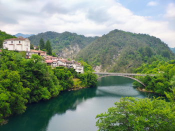
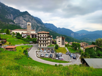
Loop tour of 170 kilometers with over 3000 meters of elevation gain. The tour starts in Ponte nelle Alpi, towards Longarone, climbs to the Vajont dam and follows the SR251 road to Cimolais. In Cimolais, after the bridge, there is a chapel with an excellent fountain beside it. From there, on the left, the road reserved for bicycles that goes to Claut starts. Go through Claut (another fountain in the square, last water supply point before the pass) and enter the Cellina valley to the hamlet of Lesis (follow the signs for the dinosaur footprints). At Lesis stay on the road that leads to the orographic right of the torrenete, toward Casera Casavento and Forcella Clautana. The road is paved for a stretch, then unpaved until Casavento.
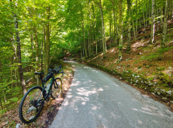
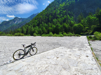
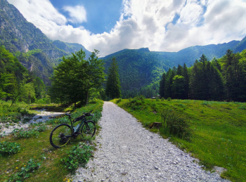
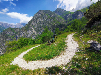
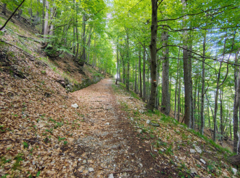
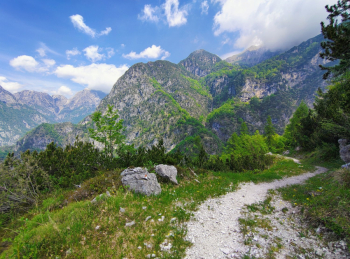
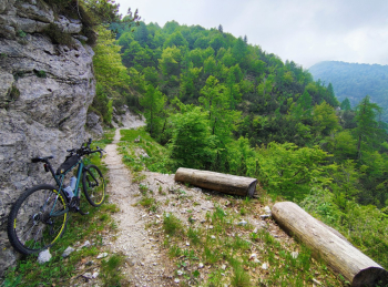
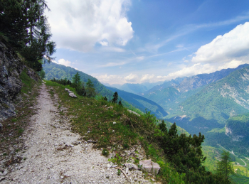
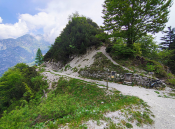
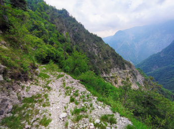
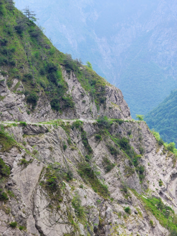
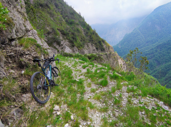
A short detour leads to the boulder with dinosaur footprints. Pass Casavento cheese factory, where the military road to Forcella Clautana and Chievolis begins. The road climbs for 5 kilometers with a constant gradient of 10%; the surface is good, entirely rideable except for a few short sections of a few meters on some water drains. From Forcella Clautana, if you wish, you can descend back to Claut by taking the road to the right that goes around the east side of the valley. The descent to Chievolis begins on the left. The first stretch of about a kilometer is driveway, nice and wide. Then it becomes a path of varying width, from one meter to three meters which was the measurement of the military road, very exposed. Pay the utmost attention!
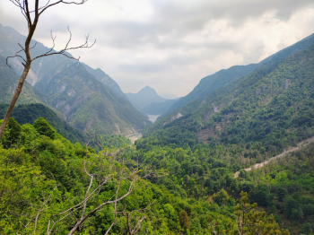
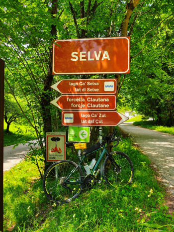
The descent to Ca' Selva is 14 km long, the first 7 of which are classified trail, the rest driveway road. From Ca' Selva continue to exit the valley at the Ponte Racli dam, where you join the Rest Pass road. Turn right and follow it for a short distance. At the Borgo Romaniz junction, follow the signs for Navarons to Poffabro. The trail continues to Maniago and then, by routes as minor as possible, pecorates the Pordenone piedmont via Montereale Valcellina, Aviano, Caneva, passes into Veneto at Cordignano. It follows the road to Vittorio Veneto, goes up the Fadalto, turns right to Farra d'Alpago from where it reaches Ponte nelle Alpi. If you wish, at Poffabro you can climb over the Pala Barzana fork to reach Barcis, from where following the Valcellina road 251 you return to Claut or Cimolais. In the latter case, the tour is 90 to 100 kilometers with 2700 meters of total elevation gain.
PLEASE NOTE: The Forcella Clautana route is an old military mule track, which crosses a totally wild and uninhabited valley, devoid of any telephone field. In many sections it is heavily exposed on overhangs. The width is always adequate, but care must be taken. There are no shortcuts to shorten the return from Chievolis to Claut; the only possible route, other than the reverse route, is the one indicated for Pala Barzana. Doable by gravel bike, provided you have adequate riding practice on uneven ground, tires no smaller than 40 mm with adequate tread, or MTB. Bring necessities for emergency repairs.
There are water supply fountains along the route (Erto, Cimolais, Claut, Chievolis, Navarons, Maniago, Montereale Valcellina, Aviano, Caneva, Vittorio Veneto, Fadalto, Farra d'Alpago, Paiane, Soverzene, Longarone). The Forcella Clautana road is absolutely not recommended in case of bad weather, due to the exposed slopes, the presence of numerous fords of torrents capable of sudden and devastating floods.