

 Italiano
 Deutsch
2025/05/12 10:03:52
Monti della Laga: Fosso della Cavata e sentiero dell'Orso
Author

Place
Italy - Abruzzo, TE
Km
29,57 km
Elapsed time
05:09:18
Vertical meters
+1 540 mt (903 - 1809)
Route difficulty
Landscapes
Last update
2025/05/12 10:51:36
Comments
Description
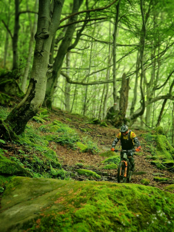
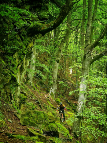
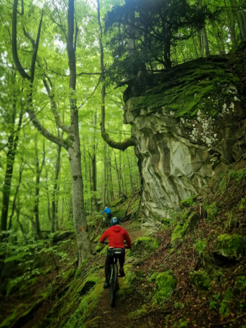
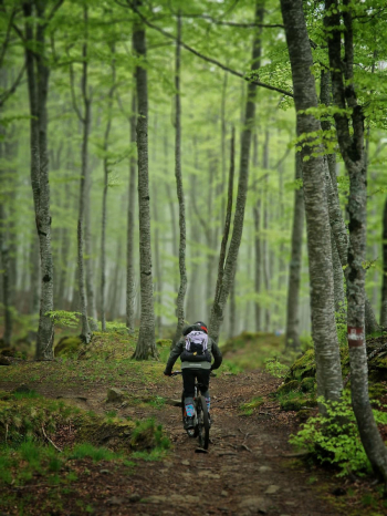
One of the most satisfying routes in terms of both driving and views and environment.
The Laga Mountains are wild and uncrowded, difficult to meet people and this projects you into a state of connection with nature that is difficult to find in other places that are now very urbanized or overcrowded. The best seasons are spring with the great abundance of water that feeds its 7 waterfalls and colors of blinding green or autumn with a rapturous foliage although in this season the waterfalls will necessarily be less abundant.
One of the trails to do at least once in a lifetime, I living not far away enjoy it a little more often ;)
Local weather
Tue 00:00

9 °C
Tue 12:00

16 °C
Wed 00:00

13 °C
Wed 12:00
14 °C
Thu 00:00
9 °C
Thu 12:00
12 °C
Graph
Nearest Routes
19,57 km
Km
+850 mt
Vertical meters
Route difficulty
Landscapes
20,82 km
Km
+1 298 mt
Vertical meters
Route difficulty
Landscapes
34,60 km
Km
+1 650 mt
Vertical meters
Route difficulty
Landscapes
18,33 km
Km
+1 300 mt
Vertical meters
Route difficulty
Landscapes

21,01 km
Km
+766 mt
Vertical meters
Route difficulty
Landscapes
25,87 km
Km
+1 656 mt
Vertical meters
Route difficulty
Landscapes
12,76 km
Km
+746 mt
Vertical meters
Route difficulty
Landscapes

42,71 km
Km
+1 783 mt
Vertical meters
Route difficulty
Landscapes
36,41 km
Km
+1 800 mt
Vertical meters
Route difficulty
Landscapes
35,13 km
Km
+1 650 mt
Vertical meters
Route difficulty
Landscapes