
 Italiano
 Deutsch
2025/02/14 15:39:49
Montellata sud
Author
Place
Italy - Veneto, TV
Km
56,59 km
Elapsed time
05:02:56
Vertical meters
+1 500 mt (63 - 359)
Route difficulty
Landscapes
Last update
2025/02/15 20:29:59
Comments
Description
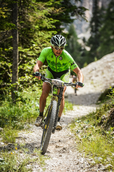
Trail and some dirt and rare paved sections of the southern Montello from Volpago with final return via the easy dirt bike path "La Tradotta". Route with a good part of the most iconic Montello Trail to be done possibly in dry conditions given the type of terrain typical of this hill. Fun guaranteed on 55 km. x 1500 of elevation gain or so.
Local weather

°C
°C
°C
°C
°C
°C
Graph
Nearest Routes
62,48 km
Km
+850 mt
Vertical meters
Route difficulty
Landscapes
29,25 km
Km
+950 mt
Vertical meters
Route difficulty
Landscapes
28,43 km
Km
+1 075 mt
Vertical meters
Route difficulty
Landscapes
37,52 km
Km
+1 000 mt
Vertical meters
Route difficulty
Landscapes
44,47 km
Km
+1 074 mt
Vertical meters
Route difficulty
Landscapes
58,91 km
Km
+1 042 mt
Vertical meters
Route difficulty
Landscapes
60,12 km
Km
+2 250 mt
Vertical meters
Route difficulty
Landscapes
69,55 km
Km
+2 700 mt
Vertical meters
Route difficulty
Landscapes
26,20 km
Km
+1 200 mt
Vertical meters
Route difficulty
Landscapes