2025/01/07 20:13:21
Rifugio Carestiato - Agordo
Author
Place
Italy - Veneto, BL
Km
47,30 km
Elapsed time
06:36:49
Vertical meters
+1 900 mt (630 - 1848)
Route difficulty
Landscapes
Last update
2025/01/07 20:24:53
Comments
Description
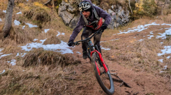
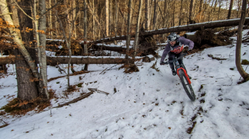
Itinerary that starts in Agordo and takes us to the Carestiato refuge via the Duran pass From the refuge starts a beautiful descent that alternates between flowing sections and more technical sections (especially in the first part) on terrain of earth, pine needles and roots I only did the first and longest descent but the trail would continue to go for a second one. Enjoy!


Local weather

°C

°C

°C

°C

°C

°C
Graph
Nearest Routes
79,97 km
Km
+3 890 mt
Vertical meters
Route difficulty
Landscapes
2022/11/03
- Italy - Veneto, BL 48,07 km
Km
+1 460 mt
Vertical meters
Route difficulty
Landscapes
21,37 km
Km
+1 140 mt
Vertical meters
Route difficulty
Landscapes
55,40 km
Km
+3 000 mt
Vertical meters
Route difficulty
Landscapes
78,08 km
Km
+3 250 mt
Vertical meters
Route difficulty
Landscapes
35,91 km
Km
+2 048 mt
Vertical meters
Route difficulty
Landscapes
15,54 km
Km
+702 mt
Vertical meters
Route difficulty
Landscapes
20,39 km
Km
+954 mt
Vertical meters
Route difficulty
Landscapes
25,62 km
Km
+1 103 mt
Vertical meters
Route difficulty
Landscapes
20,93 km
Km
+1 318 mt
Vertical meters
Route difficulty
Landscapes


 Italiano
 Deutsch