Italiano
 Deutsch
Croce del Monte Prana

From the stadium of Camaiore I head towards Monte Magno and then turn left on a steep road following the sign Frascalino. Arrived at a ruined house the climb continues on dirt road with still a couple of steep sections. Arrived at a junction I always keep left on a short singletrack that ends on the road to Gombitelli.Passing through the narrow streets of the village I find the road again, which I follow up to the Lucese Pass. From here the steepest part of the ascent on Cai 101 begins, initially on asphalt then on a dirt road until I reach the junction for the Casa del Maestro.
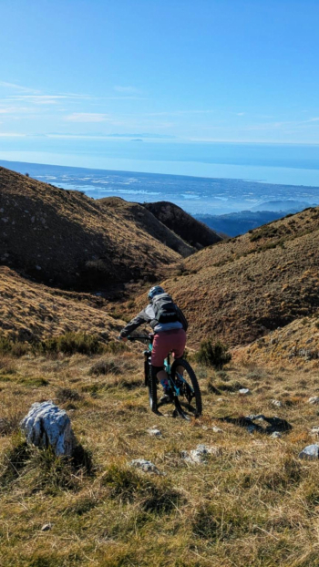
Reaching the small refuge I continue the climb with stretches of pushing and shouldering bikes,until I reach the ridge and then the great Cross of Mount Prana. From the summit begins the descent to the Focetta di San Vincenzo almost entirely rideable except for a few rocky passages where I prefer to safeguard both my safety and that of the bike.Arriving at the Focetta I could continue the long descent on the Prana traverse to Alpe di Cima and then continue on the Falcioli, but today is a great day and I decide to continue and arrive at the Foce del Termine where I would have another alternative to descend. The conditional is a must since having reached the Foce without delay continue to climb pushing the bike until the Foce del Pallone.
Not satiated and all in all not very fatigued instead of starting the descent from here I decide to go up again following the normal route of Mount Matanna to a plateau where a nice traverse begins practically parallel to the Cai trail below that I reach after a steep descent from the Belvedere.Following the path I arrive at the Foce di Grattaculo where I turn right onto the path that leads to the agriturismo l'Alpeggio. On the first part of the path I find a couple of plants on the ground easily oltrpassabili then a couple of non-cyclable sections while arrived near the agriturismo everything improves making the descent cyclable until the road.
The sore point now is the ascent to the mouth of San Rocchino with a last rather steep section. From the small church I begin the initially challenging descent with S3 sections to Luciana di sopra where I continue following the path of the acqedotto abandoning it at the level of the path that leads to Luciana. Passing through narrow alleys I reach the village of Casoli, famous for its Murals, and with a last path Candalla.