Foce delle Porchette da Pontestazzemese
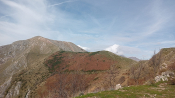
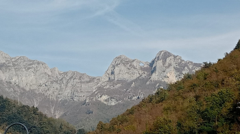
We meet in Pontestazzemese around 9.00 a.m. and at a good pace we head towards the Foce di San Rocchino, but instead of reaching it we immediately make a change to the program by following the path that passing through the Agrifoglio mountain pasture reaches the Foce di Grattaculo. The choice repays us amply, up to the mountain pasture the path is perfectly cyclable even if with several steep tears, while afterwards we have to obligatorily load our bikes on our shoulders, but this does not weigh us down, on the contrary it is a very good opportunity to evaluate its practicability downhill for a future tour.
Arriving at Grattaculo we continue alternating between pedaling and pushing and shouldering on the beautiful Matanna traverse. Our first labors end at the Foce del Pallone from where we will undertake the first descent to the Termine and from there on the road that leads back to the upper Matanna. At the end of this first part we must necessarily ascend again to go to take the path that will lead us to the locality il Cerro di Palagnana.
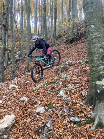
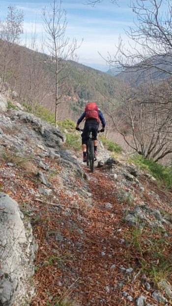
The upper part is very dirty and bumpy but it is only a short stretch that gives way to fun on dry but slippery ground that makes the descent more daring. Good first, but now the not long but intense ascent to the Foce delle Porchette awaits us, at first on wide roadway that alternates with repeated steep scrambles until it becomes a real single track on an old scorbutic mule track that we prefer to push saving our energy and use it all on the descent. Having finally reached the Porchette with the last pedal strokes, we take plenty of time to rest and refresh ourselves before tackling the descent.
The trail is just as I remembered it: technical in crescendo from start to finish, never allowing you distractions, but arrived at the bottom it leaves us with a smile on our faces,satisfied and entertained.


 Italiano
 Deutsch