La Thuile Bike Park
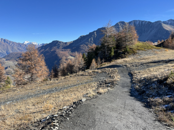
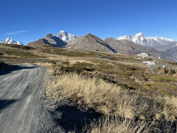
In the beautiful Bike Park de la Thuile a nice x3 (three climbs and three descents) on a great day and with closed lifts. We go up the beautiful forestry (which we will retrace 3 times) to the arrival of the Les Suches lift. Then we continue uphill until we reach the arrival of the La Rosiere lift where the first descent starts: the Molino (red).First part definitely a nice little flow pistino just fixed (a bit icy given the cold night), but then in the woods the bottom in larch needles makes perfect grip and the track is a bit more driven but always very smooth with minimal technical difficulties.In the final part I followed the black variant that after a short ascent connects to the final part of the Tombeau: definitely very technical and challenging, steps, steep dirt and roots, a DH at the highest level and a couple of passages other my abilities.
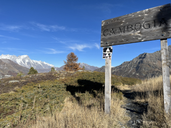
New ascent but this time in the final part you keep the left and arrive at Arnouvaz (3D lift). Here the second descent starts: Cambodia (black). The first part is a mix between pistino and alpine trail, really spectacular, technical passages and steps, jumps, parabolics, but never extreme. The final part instead becomes more difficult, the steepness on rocks and roots increases and also here a couple of passages at the limit of feasibility. Third ascent also this time we keep the left but before reaching Arnouvaz, we turn left and take the last descent La Joux (red). Nice wild style descent with dirt and rock bottom, a mix between sliding and technical, never trivial but not extreme either and also here beautiful views that at times make us forget we are on a pistino. Return to the parking lot on small roads and forestry.


 Italiano
 Deutsch