2024/10/24 12:55:46
Val Senales, da Vernago al giogo Tasca
Author
Place
Italy - Trentino-Alto Adige/Südtirol, BZ
Km
19,65 km
Elapsed time
04:33:35
Vertical meters
+1 700 mt (1702 - 2770)
Route difficulty
Landscapes
Last update
2024/10/24 12:56:25
Comments
Description
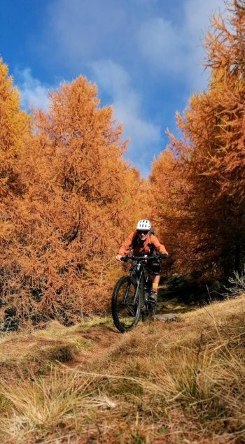
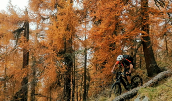
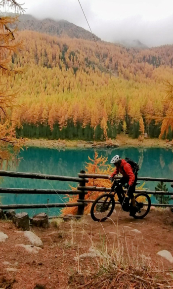
Short tour in km , but long because you walk a lot with your bike on your back. Beautiful views of the entire Senales valley. From the lake you climb on asphalt until almost Maso Corto, then take trail 4, first with pedalable sections, then on the shoulder, to the 2794-meter Giogo Tasca. From here you descend on technical trail 6 to the Gerstgraser hut (refreshment), then on trail 13 with more pushing sections, until the trail descends sharply to the lake, not technical but very steep. Route for experts.


Local weather

°C

°C

°C

°C

°C

°C
Graph
Nearest Routes
28,35 km
Km
+1 500 mt
Vertical meters
Route difficulty
Landscapes
2025/08/12
- Italy - Trentino-Alto Adige/Südtirol, BZ 43,72 km
Km
+2 550 mt
Vertical meters
Route difficulty
Landscapes
30,40 km
Km
+1 865 mt
Vertical meters
Route difficulty
Landscapes
31,33 km
Km
+1 500 mt
Vertical meters
Route difficulty
Landscapes
2024/08/12
- Italy - Trentino-Alto Adige/Südtirol, BZ 35,58 km
Km
+1 292 mt
Vertical meters
Route difficulty
Landscapes
2024/10/29
- Italy - Trentino-Alto Adige/Südtirol, BZ 35,52 km
Km
+1 400 mt
Vertical meters
Route difficulty
Landscapes
18,66 km
Km
+1 050 mt
Vertical meters
Route difficulty
Landscapes
26,12 km
Km
+1 250 mt
Vertical meters
Route difficulty
Landscapes
51,34 km
Km
+980 mt
Vertical meters
Route difficulty
Landscapes
72,93 km
Km
+2 970 mt
Vertical meters
Route difficulty
Landscapes


 Italiano
 Deutsch