Elba Ovest e Centro
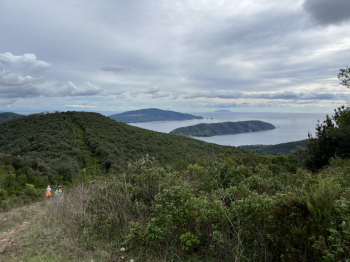
Long hike in the western and central parts of #elba. Start at Colle d'Orano and follow the scenic trail along the coast: Patresi, Zanca, Sant'Andrea, Cottoncello, Maciarello and then high trail down to Marciana Marina (a nice single track with several ups and downs and short pushing sections).From Marciana Marina you go up the asphalt road to Madonna del Buonconsiglio and here you follow cai 17, an uphill (technical) trail in the first part quite dug by wild boars, but still 95% rideable. Then with a few ups and downs you arrive in the dirt road that leads to S.Ilario. You turn left and pass Colle Reciso to take the GTE on the right. Short moderate uphill section (some pushing) and then, having climbed to Monte Castello, a short but very technically intense descent with trialistic passages on rock and boulder to Colle di Procchio.
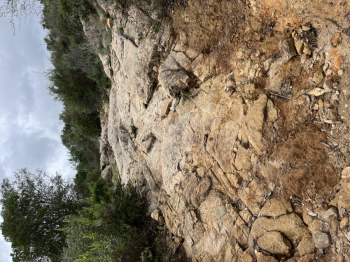
Here by back roads you take the Literno forest road that climbs gradually to S.Martino and here you follow the GTE to Monte Barbatoia, to take the DH Barbatoia: a nice flowing descent but with technical passages, steps and steeps that reaches Laconella.Here you ascend on the ridge GTE trail following the path that passes by the small church of Lacona and then Colle alle Vacche. From GTE you turn left to take the second beautiful descent in the area: Serra del Pero. A little more technical than the previous one, very scenic and for the most part on firm rock. When you get to Lacona you go back up towards the Monumento pass, but towards an altitude of 150 meters you take the forest road on the left that goes up to Monte Tambone. Here another nice tough trail that goes down to Marina di Campo; big steps, trialistic passages on rock, very dug path on rock that requires a lot of attention.
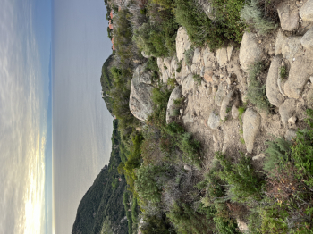
From Marina di Campo go up by dirt road to Colle Reciso and then right for the trail that takes us (cai 16) to Poggio. (Also on the way out instead of 17 you could do 16 much more pedalable.) From Poggio to Marciana by asphalt and then hard climb for the via crucis that leads to Madonna del Monte. Here trail to Serraventosa and then final descent to Partesi: RaggioVerde.Very technical and challenging descent, alternating between passages at the limit of feasibility (some even beyond) and much more feasible and enjoyable sections (90-95% rideability). A series of very tight switchbacks and then the final part, always trialistic but almost all rideable. You arrive at Partesi and shortly at Colle d'Orano.


 Italiano
 Deutsch