Elba centrale e occidentale
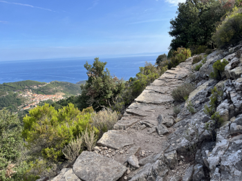
Excursion in the western and central part of the Island of #elba. Start from Colle d'Orano and go up to Marciana by asphalt road and then take the forest path to San Cerbone. Before taking the path down to San Cerbone take the path on the right that goes up to connect with the GTE. This section is a technical but well pedalable climb (at 95%). At the intersection with the GTE take the left where a very scenic section begins, in the first paerte slightly uphill on granite slabs and in the second part slightly downhill with flow and more technical sections on firm rock and some uphill (95% rideability).
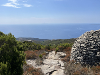
You arrive at the road that climbs from Poggio to Monte Perone and take a right. Once over the top, a short descent and then a right to climb on trail to Masso alla Quata. Here begins one of the most beautiful trails on the Island: Cielo Alto. Very technical on firm rock and trialistic in places, you arrive at Cavoli. After a short stretch of asphalt you take a forest road to the left that skirts the state highway from above and after a technical descent, you arrive at Colle Palombaia. Here you take a right and follow a scenic trail that leads toward Monte Poro: a somewhat exposed traverse, uphill on rocky boulder and downhill on forestry and trail (a couple of short push sections) and then a nice flow to Marina di Campo.
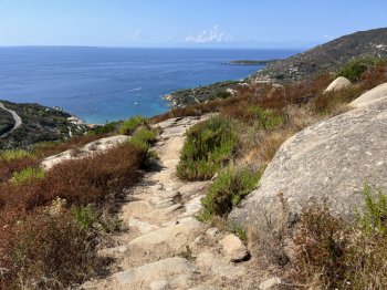
Here you follow the bike path and then a bit of asphalt to take the Literno forest road that climbs toward Monte San Martino. From here starts a nice trail, the Gualdarone, that descends to the hill of Procchio. Technical sections on firm rock and trialisitc passages, alternating with more flowing sections on dirt. When you reach the asphalt road you pass Colle Procchio and after a short descent on asphalt you take a right to go up to Colle Reciso on forestry. Here you take a forest road to the right with some technical passages, which with a few ups and downs arrives at Poggio and from here by asphalt to Marciana. From the cemetery you take a descent (little pistino and then rocky boulder) and then follow the signs for S.Andrea, a nice flowing single track in the woods with moderate gradient (only a couple of technical sections on boulder and rock). You get to Masciarello and then by trail to Cotoncello. Go up to Zanca and then by trail (a few ups and downs) to Patresi and Colle d'Orano.


 Italiano
 Deutsch