Livinallongo - Strada della Vena
Itinerary tried 25 years ago, but the Vein Road was not yet defined. On Sunday, August 25, the unknown was only the section above Cernadoi where a recent landslide seemed to have obliterated the trail. Starting from the family home in Collaz di Livinallongo, a hamlet whose history is known for at least the last 100 years, from the customs house located in Colac until 1918, to great-grandfather Guido's failed attempt to establish a hotel business, the current cantoniera house is for sale, and again to a Sicilian vacationer who had fallen in love with the Alleghe giallo waitress, rejected he consoled himself with the Collaz girl and the Sicily-Fodom mixture was born.
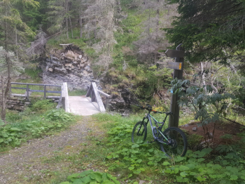
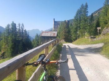
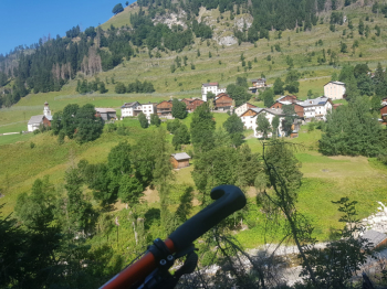
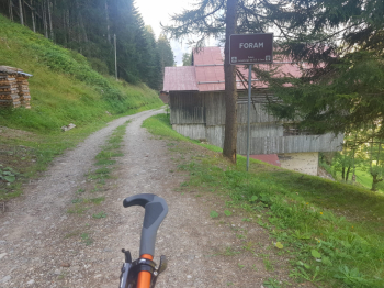
Asphalt up to Larzonei, Cousin Maurizio is restoring the old path connecting the two hamlets. Continue through the woods to Colcuc and descend on asphalt road to intercept an ascending path to Canazei, a hamlet of Colle Santa Lucia that was Italy even before the great conflict. Small stretch in common with via dell'orso to continue in the direction of Ru and then descent on asphalt to the Breda mine. Back up for the eat and drink, milking and rappel stretch to Larzonei. The most rewarding section begins, a wide dirt road and then trail with the walk a few meters over the Rio di Greola and then up again, there is a very steep section across the road to Andraz Castle. Downhill digression to Andraz and Foram. Panoramas, from Colcuc Boè and Col di Lana, from Colle Santa Lucia Monte Pelmo, from Andraz Marmolada.
Departure from Collaz di Livinallongo
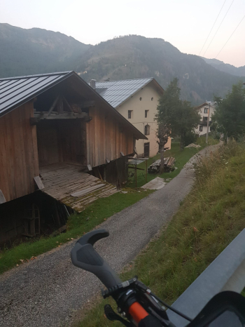
Larzonei and Civetta
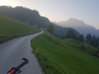
Canazei hamlet of Colle Santa Lucia
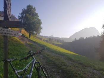
Breda Mine
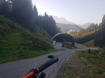
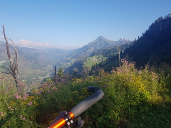
Colcuc, view of upper Val Cordevole, Boè and Col di Lana
Footbridge over Rio Greola
Andraz Castle
Andraz


 Italiano
 Deutsch