Tour des Cerces (Val Claree)
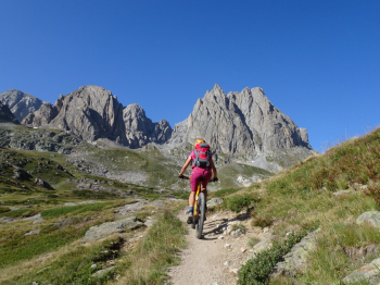
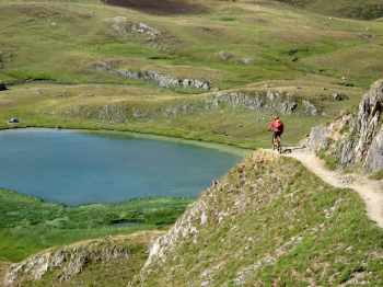
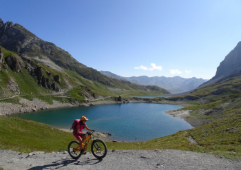
The start is from the capacious and free parking lot before Nevache in Val Clarèe since during peak times the upper valley is inhibited to traffic. We climb on asphalt until the village of Laval where the track becomes dirt. With a few stretches on uneven ground we reach the Drayeres Refuge. Alternating between pedaled stretches and pushing and shouldering bikes we reach Lac Clarèe.
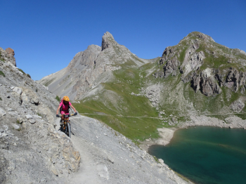
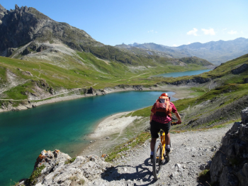
Back in the saddle we pass the successive Lac Rond and Lac Ban to the next pass where we take the obvious path to the left that takes us to the 2574 m of Col des Cerces. Nice descent in the basin below until Lac des Cerces on path in short sections a bit exposed. Now ascending to Col Ponsonnière at 2612 meters, we devalue and new scenery opens up on the Grand Lac below. The descent, still on trail, alternates between flowing and more challenging but always doable sections. We arrive at a Bergerie where we can refuel with very fresh water. We descend again until we intercept the path that runs along the Rif stream.
There are now 400 meters of passion altitude difference as we have to climb to the 2638 meters of Col Chardonnet with bikes on our backs or pushing. Now begins an anthology-like descent in an alpine setting; initially on firm bottom. As we descend, the bottom turns to rock with some challenging sections until the Chardonnet Refuge. The exertions are not over as we now have to descend on a stony mule track to the paved road near the Fontcouverte Chalets. To descend to Nevache there would be trails that we did not take due to fatigue accumulated during the hike. The trail re-enters along the paved section made on the way out.
Pay attention to the many hikers by moderating your speed when you pass or meet them. From them you will always find a word of comfort or admiration for what you are doing. Story and description with photos of the hike can be found at the photoreport.


 Italiano
 Deutsch