Col et laf du l'Oule (Val Clarée)
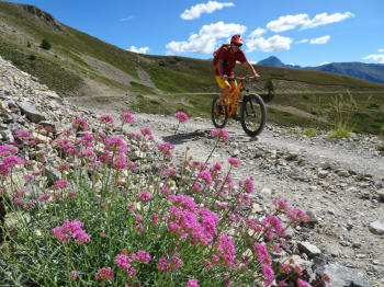
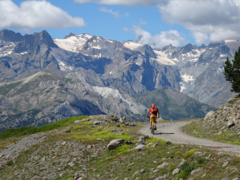
Depart from the convenient parking lot just past the village of Val-des-Prés in Val Clarée. We immediately abandon the asphalt to take a nice dirt road that accompanies us to the Village of Granon and then joins the Route Militaire coming from Forts Lenlon and Olive. Now nice flat stretch up to the Col de Granon with beautiful views of the Ecrins Group. At Col de Granon take the obvious dirt road to the right that leads us to Col des Cibieres. A short traverse and we are at our Cima Coppi; the Col de l'Oule at 2546 meters.
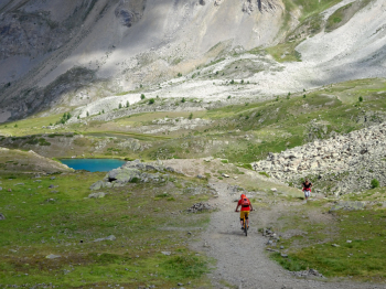
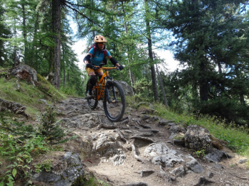
Now begins the beautiful descent on the Grand Lac de l'Oule and Lac La Barrebelow. Be careful as this is a very popular stretch for hikers (the Col Granon accessible by car is not far away). Alpine descent to be done all in the saddle until Point Cotè where we take the path to the right that descends to the valley. The first 100/150 meters of elevation gain are very difficult; there are tight switchbacks on boulder-strewn with a hollowed-out bottom, with the presence of steps, roots and hikers. We did this stretch on foot with bike at our side; then descending the trail improves and we were back in the saddle all the way to the bottom of the valley. At the hamlet of Le Cros we follow on trail/steer a stretch of about 10 km that runs along the Clarèe stream until we find the car again.
The five stars of difficulty are due to the 100/150-meter stretch beginning at Point Cotè (otherwise three/four stars all the rest of the way).
Find photos and account of the route on the photoreport.


 Italiano
 Deutsch