Passo Gelato - Rifugio Petrarca - Val di Fosse e Val Passiria
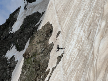
Passo Gelato located at an elevation of 2,895 meters is between the Fosse and Plan valleys (a side valley of the Passeiertal valley) in South Tyrol, along Trail 24, also known as the Merano High Route. Near the Petrarca hut 2,875 meters (which you will glimpse just after descending the Ice Pass) there are also some spectacular Alpine lakes!
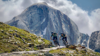
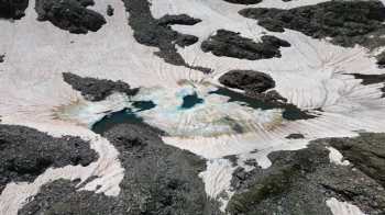
This route can be ridden in a variety of combinations:
- Fully cycled starting from Merano and returning to Merano (about 90km and 2900 d+): link.
- Using the Bike Shuttle services at the start avoiding all the asphalt part of the Val di Fosse, both on the return avoiding all the bike path on the valley floor, in short avoiding asphalt as much as possible
- By incorporating it into a touring tour with overnight stays in mountain huts, the options here are endless.
- Doable either by classic MTB (challenging climb especially in the final part before Passo Gelato where there are sections of technical trail, or by ebike (very enjoyable given the previously mentioned sections of technical trail).
This little adventure was carried out in collaboration with the Bike Hotels of South Tyrol so together with them we agreed to choose option 2 and to run it in Ebike and I must say that as a choice it was was very apt as we had a great time trying the various technical passages uphill, on the contrary we would have had to push the bike so for us apt option but we will definitely come back to do the full 90km tour, in this case however I would recommend an extremely pedalable downcountry type bike or at least a very pedalable trail so we can enjoy even during the long climb!
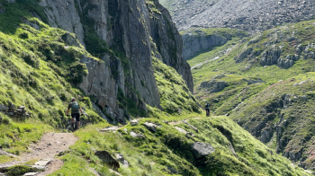
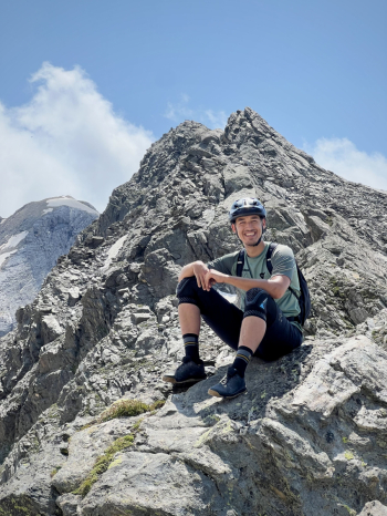
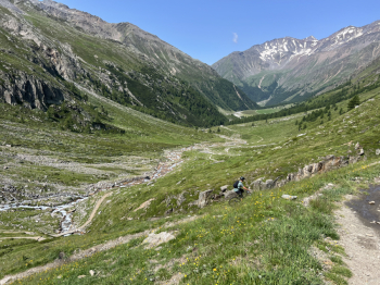
We come to the descent, extremely long as it is fun, scenic to the extreme so much so that it "forced" us to stop several times to admire it. At a certain point the trail becomes a continuous alternation of hairpin bends, doable both in conduction and nose press, it is worth emphasizing how much these bends can be didactic for the purpose of learning nose press or improving cornering, they are perfect! They always have the right slope (never exaggerated) and a width such that you are not obliged to do the nose press, but rather can try it safely. Average difficulty of the descent: S2
The final section of Val Passiria is mostly on asphalt but pay attention to the trail because we searched all the possible trails in the area and found several beautiful ones!


 Italiano
 Deutsch