Passo della Vallaccia e val Viola
Epic itinerary starting in #livigno and climbing to the Ere Pass on asphalt. From the pass you stay high above the road and descend on dirt road and trail below Trepalle, where the spectacular Vallaccia begins. You initially climb on a small asphalt road, admiring this deserted place.
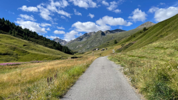
The dirt road takes the place of asphalt and, cows aside, you will be hard pressed to find a soul.
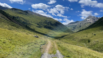
The valley is very long but never steep, not even when a trail begins that is initially rideable. You ride up to an elevation of 2380 meters. The Vallaccia pass is at 2600 meters, so we have about 250 meters ahead of us in which to easily push the bike. With an ebike you would be able to do most of it in the saddle.
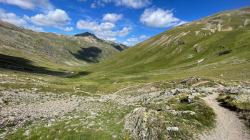
I was expecting the descent to Val Viola to be barely cyclable, but instead when I get to the pass I see this libidinous trail, recently put in place and 100% rideable.
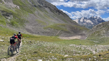
The Dosdé peak in the background keeps us company until we come out on a dirt road, which we follow for a short distance before taking a path to the right with a very nice forest floor and several hairpin bends that are never narrow. This path takes us to the Viola Valley road, which we follow right uphill. Where the dirt road begins the forest thins out and the view deserves at least one photo.
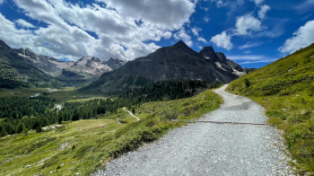
We head toward the Viola hut, passing by the lake of the same name.
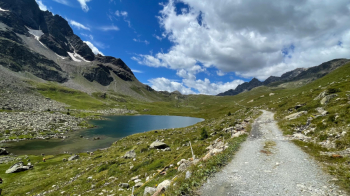
Be sure to follow the trail to the hut and then turn right, because the road does not lead to the pass but only to an alpine hut. Just below the pass the bike trail begins. A few meters and we are at the top and cross the Swiss border, where the descent begins. This is rather rocky because of rain and cows, but it is all done in the saddle.
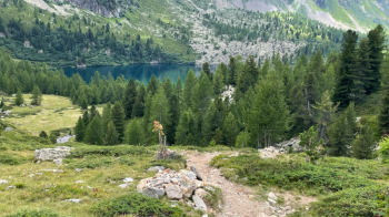
After finishing the trail, we continue on dirt road for a good bit. Some relaxation before turning left and beginning our descent on Poschiavo. First on forest floor, then on the Bernina cantonal road due to landslide and construction (the trail is closed) and then on the brutal old trail down to Guardian Angels. I hope your suspension works well, because it is full of fixed boulders on which you can make speed, but the bumps are felt. Once in the village we follow several small roads and then the main one down to Poschiavo. I have included a ride through the village in the trail, and then go to the station where you catch the Bernina train, which has entire carriages set aside for bike transport. Enjoy the ride; the views are unforgettable.
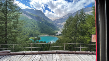
We then arrive at the Bernina hospice, where the last climb of the day on the trail that will take us to the Forcola di Livigno awaits us. There are some challenging ramps before we begin the gentle descent and then the false-flat to the pass.
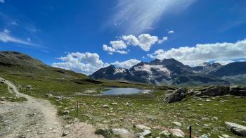
Fortunately, fabulous panormamas keep us company, both on the Swiss side .
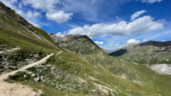
. and on the Italian side. From the pass it is all downhill to Livigno. The trail ends at an ice cream parlor, where you can also drink a well-deserved beer.


 Italiano
 Deutsch
