Laghi della Forcola e lago del Monte
Very tough ride because of the elevation gain on foot: 800 meters of elevation gain out of a total of 1400. Fortunately, most of it is pushing.
We start by pedaling lovingly on the #livigno bike path, then continue on the dirt road to the Forcola pass. The last section is steep and, given the altitude, will make you spit out a lung or two. From the pass put your heart in your mouth, because we have to cover 400 meters of mostly pushing, with a few pedaled sections, to the Forcola lakes.
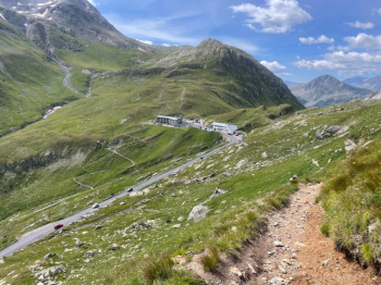
To reach them we will pass in the vicinity of "la Stretta," that is, the pass that leads from the Fain valley into the Livigno valley. The trail down from there to Livigno is complete crap, destroyed and also difficult to hike, but keep it as a possible way out if the weather turns nasty.
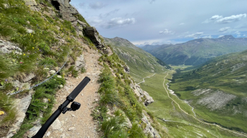
Note well: the final section before la Stretta has several pieces with chain to hold on to, should you need to. I did not use it, however be aware that the trail is exposed and if you suffer from vertigo you may want to take the long way around to get to la Stretta(you can find it here).
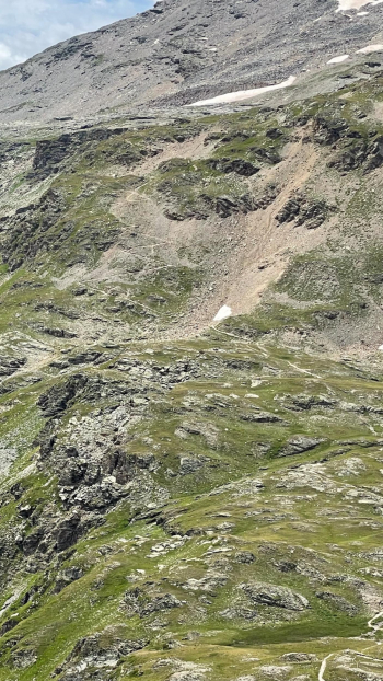
In contrast, the trail up to the lakes is really well put together, both for the push phase and the descent. Obviously at the lakes it is worth taking a nice break with an exploratory ride between the various lakes, all or almost all on level ground.
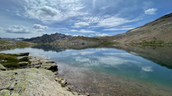
The descent is all done in the saddle, except maybe 1 pass or 2 depending on your technique. The trail is identical to the ascent trail (watch the GPS because I forgot to restart it). So you descend to la Stretta, catch your breath for a moment, and set off for the next 400 meters of elevation gain by pushing on, towards Lake del Monte. Easy trail, too, except for a 15-foot rock that requires you to climb. Nothing transcendental, I have always done it on my own without help, however it does take some inner confidence, or a friend to help you lift the bike.
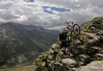
From that point on you are scattered in the mountains, moonscape and wilderness, complete with ibex passing you by. All the effort is rewarded when you get above Mt. Lake.
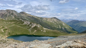
From an elevation of 2800 meters, where we descend, a trail from One Thousand and One Nights starts to just above the Livigno valley. Rocky, with lots of fairly wide switchbacks and fast sections. Magnificent.
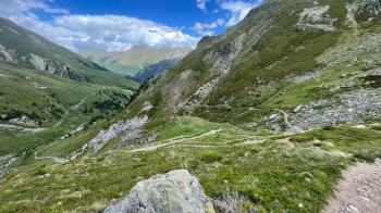
This comes out onto a rather rutted dirt road, which we follow to the bike path we rode previously. The trail ends at an ice cream parlor. You will need it, after which you can have a beer; they have that too. Note to boaters: the trail to Lake Monte looks cyclable on the uphill map, but it is very eroded and you will find yourself pushing hard. Even with the ebike. It is best to do it downhill.


 Italiano
 Deutsch