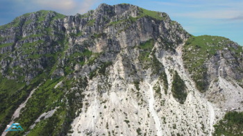
Monte Tigaldine
This stupendous Valsabbina cycle mountaineering I have already proposed it in two versions concerning the two sides, this is the sprint version that has 700 meters less elevation gain but retains all the juicy part of the trip.
We park the car in front of the headquarters of the municipality of Pertica Bassa in Forno D'ono and on the Sp110 we reach the hamlet of Avenone above. At the beginning of the hamlet, immediately after the beautiful circular fountain we turn right on steep forest road that to the first paved section will follow cemented and unpaved segments until the beautiful alpine pasture of Pian del Bene. We proceed up and down on the same forest road to the Campo di Nasso malga.
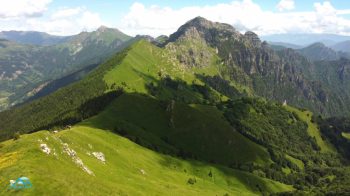
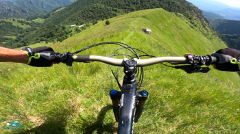
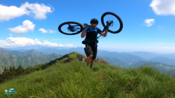
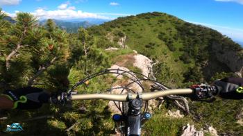
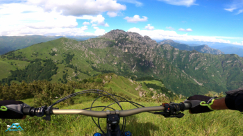
Now passing to the left of the malga in the middle of the alpine pasture we go to intercept path 393 that descends from Mount Ario and that in a short time will lead us to the Falcone pass and the Pezzeda alpine pasture. We ascend first by pedaling then pushing and eventually by bike on our shoulders the west side of Mount Pezzeda, the first peak of the day. Stunning views of the alpine pastures just past, Corna Blacca and the whole Maniva area a little disfigured by a monstrous ski lift that has been disused for at least 25 years. Now we face downhill the grassy ridge that connects Mount Frondine to Mount Pezzeda with fun at 1000.
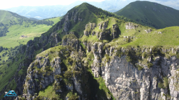
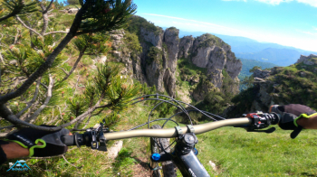
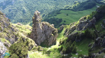
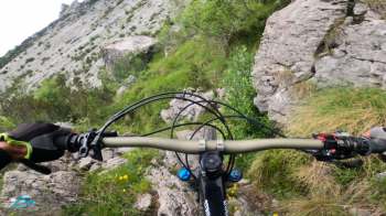
Reached the Frondine pass as a counterpart we now have the most annoying uphill segment, 100 meters of elevation gain with bike on the shoulders in a forest of mugo pine where we add to the slope the hindrance that the plants oppose to the bike on the shoulders, fortunately it all lasts a short time and we are at the summit of Frondine. Beautiful the view and the rocky environment that surrounds us.
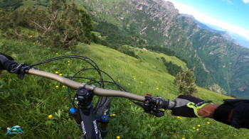
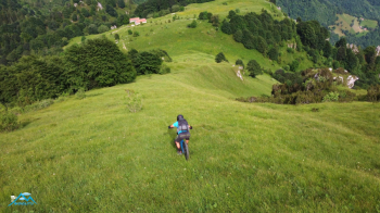
We now prepare to reach the Tigaldine via a wonderful section that includes two short climbs, two short descents and a very, very scenic traverse to savor at leisure. Majestic glimpses can be made, if the day is clear, of the four hamlets that make up the municipality of Pertica Bassa. Now we descend from Tigaldine towards malga Frondine, there are no paths but a steep and inviting meadow to be tackled with the utmost care, we don't stop easily on that grass but to our advantage the bottom is quite smooth and this makes the descent much easier, in fact it makes it funssssissima! We enter the beech forest then take the Gere (gravel) trail that cuts almost completely through the south side of Tigaldine, the angrier side to merge into the Cagna trail that ends at the Glera stream.
Here the wilderness part ends and so does my film but not the hike. We now have about 150 meters of elevation gain to go up to the Val Sorda alpine hut (we walk for a short distance on the forest road already traveled) and from the hut down, to the Penser Ark, sculpture trail, Avenone and from Avenone the old mule track to Forno D'ono and the car with much, much fun.


 Italiano
 Deutsch