Italiano
 Deutsch
Serra Alta, sentiero 623
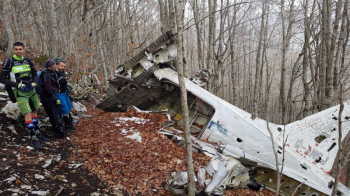
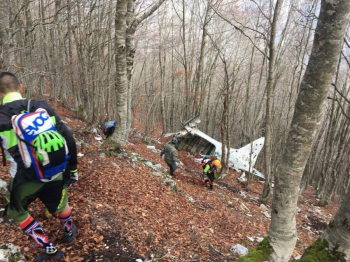
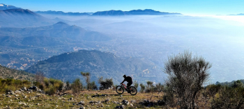
We start from the antennas just above Mezzano (if you want you can start from Sora on longer days adding 10 km on asphalt and 300 meters of elevation gain). 10 km of dirt road with hard ramps up to Monna Rosa, where we start pushing and sometimes carrying the bike on our shoulders. Reaching the summit in about an hour we visit the remains of the plane that crashed in 1963,
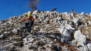
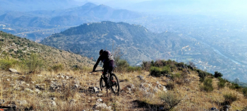
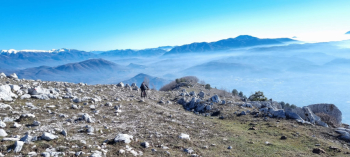
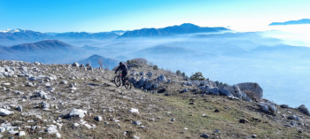
and we set off downhill first on faint path that further down becomes quite marked, with small technical passages that are not very smooth. When we reach Trenta Faggi we opt for the ridge crossing trying to avoid the downhill pushing section due to lack of a real trail but the music does not change, however it allows us to resume the descent from the highest part of Trenta Faggi, on a trail with steep gradients and challenging passages between sharp rocks. The trail continues to Faggio Rotondo with challenging passages between fixed and loose rocks. Here the descent becomes smoother but still challenging with several switchbacks and steep inclines on loose and stony terrain passing first by Terra Rossa, and then to the meadows of Colle Sant'Angelo.
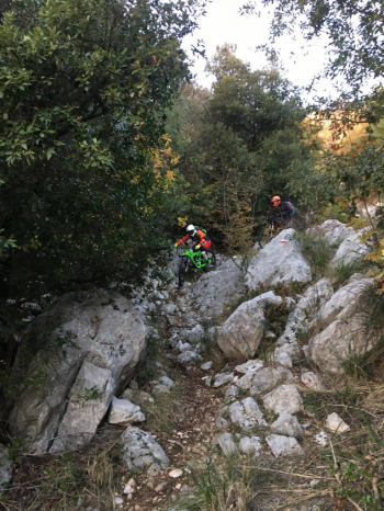
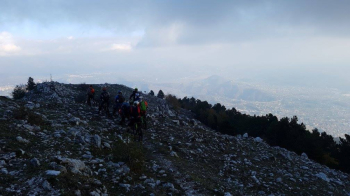
Continue on trail 623 now known as the "shortino" that descends directly to Sora. Here the trail becomes very challenging with steep inclines and a slippery surface, several technical passages on fixed and loose rocks , and once we reach an old farmhouse, a tumultuous trail begins, on fixed rocks and nose press hairpin bends that test the physique and trialist technique, leading us to the locality Forca. With a short trail we are back in Sora
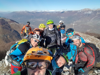
Very challenging ciloalpine tour both physically and because of the high technical difficulties on the descent.