Malcantone, nuovo trail Monte Lema, Monte Mondini
Epic route with lots of trails in Malcantone, straddling Switzerland and Italy. The start is in Breganzona, but you can easily start in Bioggio avoiding the final 150 meters of climbing. I did it with a Canyon Lux Trail with 120/110 mm of travel, since the elevation gain is so much and the descents pretty easy except for one.
The first climb is the Ronchi climb that takes us to Cademario. Initially unpaved, after a small bridge it becomes paved and climbs rather steeply through vineyards with views of Lake Lugano and the Agno airport.
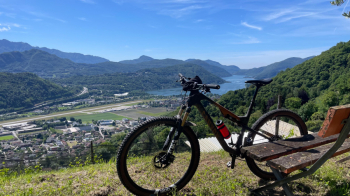
We arrive in Cademario, continue to the top of the paved road and take a path/forest road on the left that after a hundred meters of elevation gain takes us to the first trail descent. Forest floor, a few tight but doable hairpin bends, a few stretches with loose stones and we are above Iseo, where we take the asphalt road and follow it to Aranno with a few ups and downs. We enter the charming village of Aranno on cobblestones, very pretty.
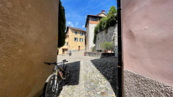
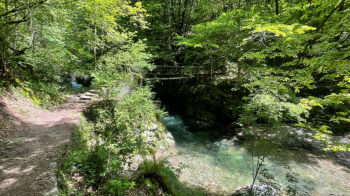
In the maze of alleys we take a path, the most difficult one of the tour, that will take us all the way to the bottom of the valley that divides Aranno from Novaggio. There are some hairpin bends with steps that, if wet, are not easy. The rest is doable with good technique and good choice of lines. We thus reach the river and cross it over a small bridge. This is a great place to swim when the heatwave is on.
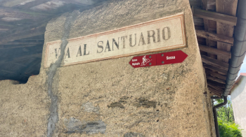
We continue on the opposite side, but after a hundred meters we find ourselves pushing the bike for 5 minutes up a rocky, steep trail. Subsequently a little pushing and a little pedaling we arrive below the village of Novaggio. Here begins a paved section that will take us to Astano, where we take a nice path that will get us across the border to Italy. There are the remains of a border house. The final part of the trail is downhill on a via crucis with small steps that will make your bike and your back cry out for mercy. Arriving on a small paved road, we follow it to the right, not before filling our water bottle at a fountain exactly opposite the trail and looking incredulously at the sign for MTBs up that via crucis.
We follow the small road that then turns into a trail and throws us off onto another road that we follow to the right and abandon soon after to begin the long climb to Monte Lema (1100 meters of elevation gain). Much of the climb is comfortable, on asphalt and without traffic, until we reach Rifugio Campiglio where we can refresh ourselves on a spectacular terrace overlooking Lake Maggiore.
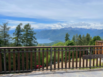
From here the real exertions begin. At first a harmless dirt road takes us further uphill, next we find ourselves on a trail that is initially rideable but has steep, rocky sections that will force pushing and finally on the summit slope of Monte Lema that requires 15 to 20 minutes of pushing and sweating.
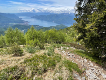
We then arrive at a flat, completely rideable trail that takes us up to the Monte Lema restaurant and the cable car of the same name. This carries bikes, so if you want to save yourself a lot of effort, take it. You are missing out, however, on the many paths we took to get here.
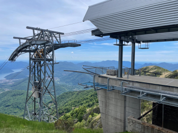
We pass through the top station of the cable car and follow the newly restored trail to try the new Monte Lema trail, built especially for bikes. At first it's a spectacular traverse, then we are on the ridge and a series of tight, unbanked curves come in that drastically lower your speed. You will stop anyway because the views are spatial.
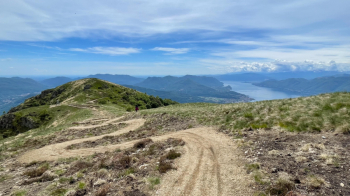
Further down there is a section with some parabolics in which to run the bike, unfortunately it lasts very little.
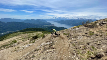
When we come to a cart road we cross it and follow what is a bike path full of sleepers before the tight curves that invite you to cut through. I don't see the point, but so much so that it was already full of cuts today (the trail is new). So we arrive at a pass with lots of fountain and follow the 66 signs back to Astano. Unfortunately, the descent is on a kind of boring dirt road. At Astano we retrace the asphalt road backwards, with a cut on a trail, and then head for Monte Mondini, the last highlight of the day. Uphill an almost entirely rideable trail takes us to the mouth of a trail built for MTBs.
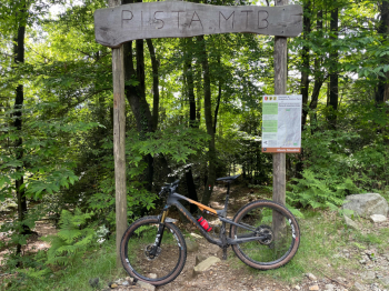
In the middle of the descent is an ascent that will require our last efforts, before enjoying the descent to the lake with many banked curves. We arrive in Pura, cross it and descend on a trail with a technical little pass to get to Magliaso. From there we follow the bike path to Agno and back up to Breganzona.


 Italiano
 Deutsch
