Eremo di Gamogna e Monte Carnevale
We return to Marradi to remove our doubts and skepticism about CAI trail 519, a trail that has intrigued me for some time now but about which I have some perplexity due to the little information I have been able to find. The last doubts are taken away by Tommy, who has now become my reference in the area, always very helpful and a reliable source. In order not to risk getting the tour wrong, I create a combination that includes the passage from the Hermitage of Gamogna and the ridge descending on Marradi, done last January. This time we do not arrive at the Canove, but on Tommy's advice, having arrived at the Eremo pass we take the Cai 522 trail that in a short time takes us to the ridge.
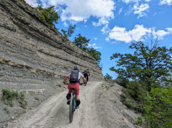
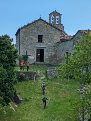
With good leg you manage to pedal it almost all the way and having reached the top you can decide whether to continue it to the Hermitage or prefer it to the ridge. Since we rode the latter totally last time, we decide to continue and reach the Hermitage. The trail is very pleasant with no particular difficulty. Of course, the temptation and adrenaline of the ridge was great, but the Hermitage of Gamogna is one of those places worth visiting at least once. After a brief visit we set off again, tackling a short but intense cemented climb.
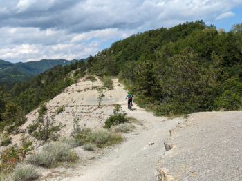
We begin to descend and just past Monte del Calvo we enter the ridge for the beautiful and varied descent to Marradi following the Cai 521 trail. Just enough time to refresh ourselves and we resume the climb to Passo Carnevale where a few dozen meters before reaching it we take the Cai 505 trail that we follow until it intersects with the Cai 519 trail. Here begins the unseen and mysterious descent in the hope that it will not disappoint us. The start is not the most exciting, but having traveled a few dozen meters we are immediately faced with rock jumps that at first glance would seem insurmountable, but by studying the passages we manage to do them in the saddle. Having passed this first part the trail becomes more streamlined with a few relaunches, some panoramic glimpses and an environment pleasant to the eye. Starting the descent again, the trail is super fun, a single track in the woods practically to the end.


 Italiano
 Deutsch