Monte Mario, Monte Sole e Monte Salvaro
Hike from Bologna to three peaks in the southern area. From Bologna you reach Rastignano and then by bicycle paths, just before Pian di Macina you go up country roads to Sabbiuno and then by asphalt Pieve del Pino and Via delle Orchidee (Monte Mario area). Here you continue and take to the right the Vagabunder trail, a fun single track flow but with several technical passages also not trivial.Arriving on asphalt at Battedizzo you descend to the Provincial Road to Vado. At Vado you take to Murazze and here you climb to Monte Sole on a trail, initially nice and steep then more gradual.
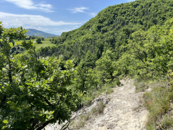
Arriving on the dirt tracks of Monte Sole Park, take the hard trail to the summit (almost all pushing). From the summit a nice trail starts with a few passages on rock and firm boulders then continues fairly flowing. The trail follows a nice loop that alternates flowing sections with more technical passages.Climb back up to return to MSole Park and then take the dirt road to Monte Salvaro (a nice series of climbs and descents). You climb to Monte Salvaro via a steep Cai trail, but all rideable (on ebike).
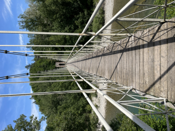
From the top you go down the Ca degli schiavi trail. First very flowing section, then exposed passage on rock (be very careful) with a few steps and then flow again. Once in Salvaro you go down by asphalt to Pioppe and take the nice bike path along Reno to Marzabotto and then secondary roads on the right side of the river to Lama.A stretch of Porrettana and then bike paths again until beyond Sasso, another short stretch of Porrettana, Castel del Rossi and then bike path to Talon Park and from there bike paths to Bologna.


 Italiano
 Deutsch