Punta Almana da nord
Ascent to Punta Almana from the north, the best! Punta Almana has always fascinated me, from what they say the views are fantastic and the rumors were true. From what could be found online it was never clear what was the best way to hike it; eventually some advice and planning paid off. Unlike most of the trails that climb from the south the best one is definitely the climb from the north, first because the loop is a loop and we avoid going down the climb, second because the ridge in addition to having more elevation gain to push, has a very slippery surface.
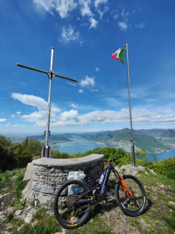
Start from Pilzone and after about 7Km along the lake we start the climb towards Zone(alternatively for Emtb it is also possible to follow this track) after 1000 meters of elevation gain we reach the Sale fork, from here starts the classic climb on foot (with two equipped sections) not recommended for mtb, we then continue west until we take the classic trail. The first part of the trail is partly rideable in Emtb, then the rideable sections decrease and the passages with some steps force us to push the bike (I guarantee that it is still more comfortable than pushing to make the ridge from which we will descend) in about 250 meters of elevation gain we will arrive at the cross where a fantastic view will be waiting for you!


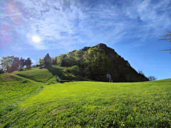
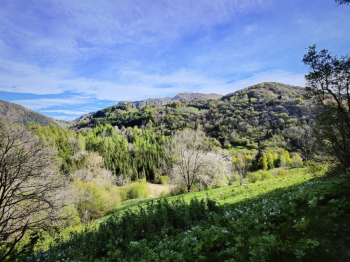


From here begins the descent made very challenging by the very bumpy and slippery bottom, the first half is characterized by many passages too technical and exposed to deserve to be done in the saddle, later it becomes much more manageable.
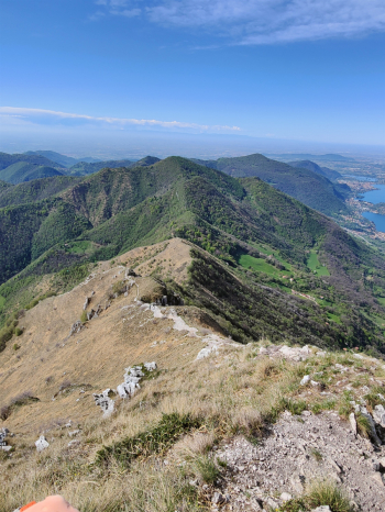
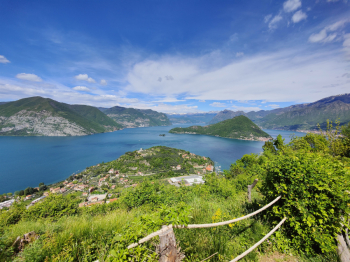
Arrived at the cross of Pezzolo. I recommend not to follow the high path (not rideable and uncomfortable), but rather to follow the trail. We arrive in front of Mount Rodondone where after 100 meters push we reach the pass from which we will descend with not a few difficulties and numerous technical passages. The passage to Mount Castellino is not much less (and honestly I think it would be worth revisiting this part of the trail). We continue to the Colmi, which I highly recommend for another supertop panorama! From Cuna locality a fun and noteworthy little descent finally begins.
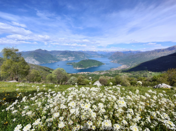
Last effort to Punta dell'Orto from which you can descend on the direct trail (s4 vertical or follow the track). From here to the church of San Fermo is a nice trail sometimes rocky, sometimes rocky but always nice technical. From the church of San Fermo we continue to the giant lake view bench and then by a trail initially with some passages too technical and vertical to be done in the saddle and then gradually flowing more and more manageable (S3).

Trail style: AM
Personal rating: views 10/10; descents 7/10
Physical exertion: high
MTB: yes
EMTB: yes if it doesn't spanvent you to push it and lift it
Duration about 6h (in EMtb)
Shoulder bike sections: in total between everything about 4-500 meters
Difficulty ascent: manageable
Difficulty descent: very technical S3/S4
Exposed: yes about 350m
Drainage: ND (but Punta Almana seems very draining, in fact it was better if it had been wet)
Alternative rides: they say the descents and ascents from Gardone Val Trompia are very deserving.


 Italiano
 Deutsch
