Italiano
 Deutsch
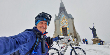
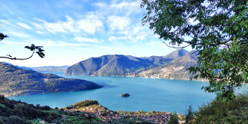
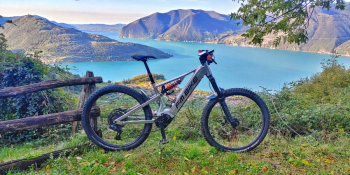
Un Guglielmo nuovo partendo dalla spiaggia del lago d'Iseo

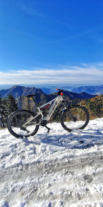
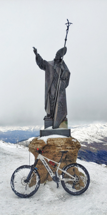
An iconic tour of our land revisited, taking you to discover new trails downhill from the summit of our Mount Guglielmo (Gòlem for the Brescians ). With snow and then with foliage it will be an unforgettable adventure. Try it to believe !
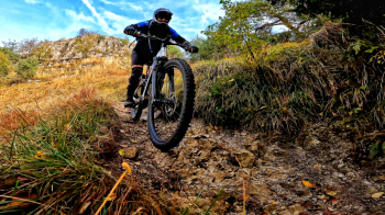
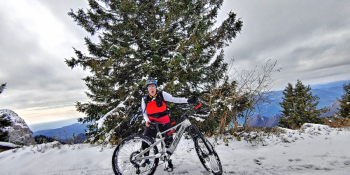
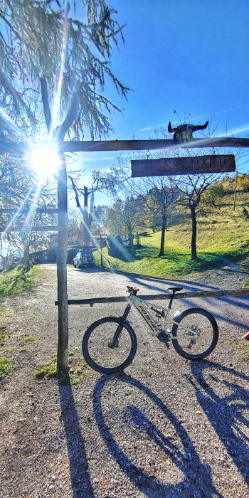
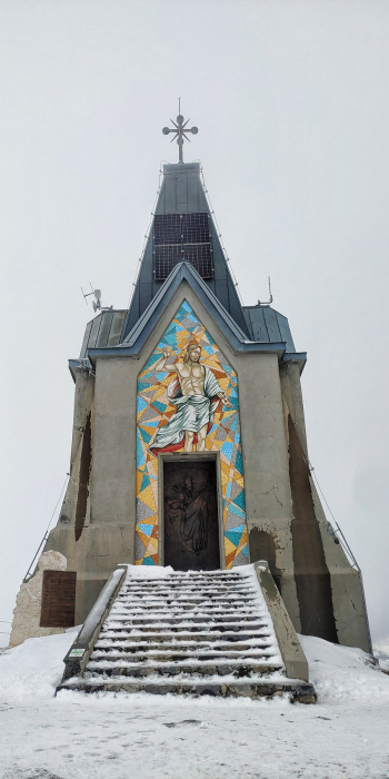
We start from Vello, right on the edge of Lake Iseo and begin the adventure by climbing first to Colpiano then in the direction of Zone. Be careful because we will turn right at a certain point to face the little known Madonna della Rota climb that will lead us up to Croce di Marone. From this point we continue for the second part of the ascent to Rifugio Almici then to the top of Redentore on Guglielmo. This will be a challenging section but with unique views of the Sebino. From the summit, after a well-deserved rest, we begin the descent. At Malga Guglielmo di Sopra we deviate to the right to take us towards Malga Palmarusso on a comfortable gippabile. The enjoyable stretch up to Cascina Bombolone, I would say magical, begins shortly. We reach Croce di Zone Pass and from here we will have to climb about 300 meters of elevation gain to Malga Aguina and its lush pastures. Near a hunting lodge begins Trail No. 209 called Trail Aguina. It will be a bit wild but also steep not to be done if too wet, but endlessly satisfying. We will arrive in that of Pisogne where we just have to make sure the bike path is open (sometimes it is closed for maintenance). If it is not, there will be two tunnels to go back to Vello. The allure of starting from the lakeshore to get to the top is always something exciting.
RECOMMENDED ROUTE FOR MOUNTAIN BIKE and/or E-BIKE ALL MOUNTAIN.
NB: At the time of inclusion this ride is all doable without any particular problems. We disclaim any responsibility for any inconvenience due to lack of maintenance of the trails or deterioration of the same due to external agents and / or natural and a wrong assessment where the tour.