
 Italiano
 Deutsch
2024/04/16 19:43:40
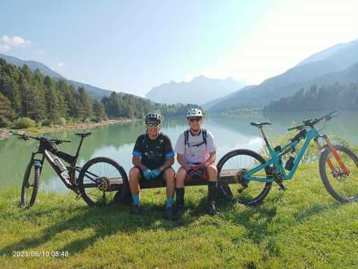
Trail Area di Lugo di Grezzana
Author
Place
Italy - Veneto, VR
Km
33,66 km
Elapsed time
04:41:06
Vertical meters
+1 300 mt (293 - 857)
Route difficulty
Landscapes
Last update
2024/04/23 08:52:25
Comments
Hotels
Description
The itinerary is designed to take advantage of some of the trails in the Trail Area of Lugo di Grezzana excellently cared for and maintained by the Teste di Marmoassociation .
There are 5 climbs all paved for a total development of 33 km x 1300 meters of elevation gain. The first two climbs are one 9 km and the other 7.5 km, the other 3 are minor. The descents are mostly S2 and S3 level with some S4 passages only in the first 2 descents, the final two S1.
Obviously recommended protection and good riding skills.
Local weather
Thu 00:00

21 °C
Thu 12:00

29 °C
Fri 00:00

23 °C
Fri 12:00

30 °C
Sat 00:00
23 °C
Sat 12:00
29 °C

Graph
Nearest Routes
27,07 km
Km
+910 mt
Vertical meters
Route difficulty
Landscapes
24,10 km
Km
+750 mt
Vertical meters
Route difficulty
Landscapes
17,89 km
Km
+740 mt
Vertical meters
Route difficulty
Landscapes
26,71 km
Km
+860 mt
Vertical meters
Route difficulty
Landscapes
25,80 km
Km
+900 mt
Vertical meters
Route difficulty
Landscapes
2025/05/19
- Italy - Veneto, VR 35,58 km
Km
+1 160 mt
Vertical meters
Route difficulty
Landscapes
2023/06/19
- Italy - Veneto, VR 21,75 km
Km
+930 mt
Vertical meters
Route difficulty
Landscapes
28,92 km
Km
+1 000 mt
Vertical meters
Route difficulty
Landscapes
19,40 km
Km
+619 mt
Vertical meters
Route difficulty
Landscapes
30,41 km
Km
+850 mt
Vertical meters
Route difficulty
Landscapes