Monte Manos, monte Stino 1/2 136, Camisino trail
From Pieve Vecchia,where we stayed at the B&B le Dolcezze, and after an excellent breakfast, we strapped on our bikes and began the climb up the SP58 towards Passo San Rocco. Unfortunately, we didn't do the math right today finding ourselves in the middle of the Colnago Granfondo with about 3000 registered riders. As long as we can we proceed in the saddle but as the first riders arrive we are forced at first to a forced stop of about 30 minutes. After the lead riders we decide to continue on foot being very careful not to get in the way of the participants, jumping from one side of the road to the other.
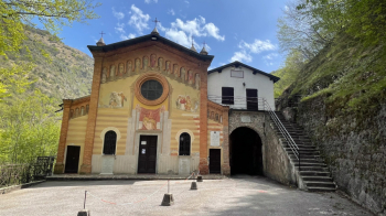
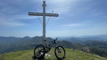
At the end of the hairpin bends, fortunately, our direction leaves the race route on a nice little mountain road that passes by the Sanctuary of the Madonna del Secco and leads to the Passo del Cavallino della Fobbia, where we continue on the Horseback Trail passing through the Vici Pass until we cross the Cai 473 that leads to the summit of Mount Manos. The first part of the climb to the summit is fairly easy while the last 100 meters we are forced to push the bike. Being an easy mountain to reach, we find a few people at the Cross, also accomplice to the beautiful day.
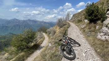
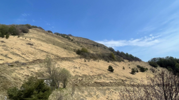
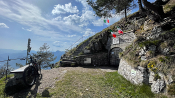
Recovering our strength we prepare for the first descent of the day, which will be via the ridge on the opposite side of the climb and Cai 471 to San Rocco Pass. In the blink of an eye we swallow it almost all in one go, not even stopping for a few shots. Now the sore point, to reach the Monte Stino refuge we have to shoot ourselves another 500 meters or so of elevation gain on a long climb that is very steep in places and completely under the sun. Between one pedal stroke and another and constant zizzing we arrive at the refuge, where in the company of two gravellists we relax and refresh ourselves over pinsoccheri and tagliatelle.
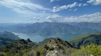
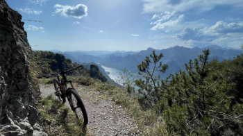
Now comes the highlight of the day, on a long and resounding descent that combines Cai 456, better known as the 136 hairpin bends trail, and Cai 454 Trai del Camisino.
The combination is 10 with honors and even we only do half of the famous 136 switchbacks, the next trail does not make us regret our choice, again the dominant theme is nosepress to close an endless series of switchbacks. When we reach the end, the icing is a nice walkway along the lake via bike path that basically takes us all the way back to the B&B.


 Italiano
 Deutsch