Italiano
 Deutsch
Monte Vas, Navantes, rifugio Fornas, Monte Duron, Monte Spin

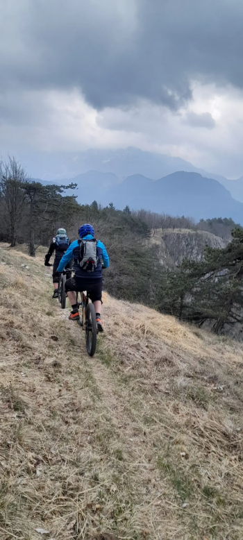
Enduro route with long asphalt climb and then steep forestry and exciting descents of different types. Departing from Caneva di Tolmezzo, you climb the asphalt first to Fusea and then continue to Curiedi and then descend Buttea. You start climbing again in a spectacular environment until you reach the locality of Fussa where you leave the main road to climb towards Vas where the asphalt ends. Behind the last houses of Vas first begins a pedrade that immediately turns into a forest road that at first with steep sections and then more gently crossing the Chianton forest leads near Forcella Dolacis. You turn right toward Malga Corce and proceed in a pleasant up and down until you reach casa Navantes where you leave the forest road to turn right on the grassy hill prelude to the first descent. The descent is very steep but on open meadow, where keeping balanced between the clumps you immediately descend to Chiotz where the forest road that descends to rifugio Fornas is intertwined. After crossing the refuge, go up the asphalt Fornas road until you cross the road to Navantes and take it uphill proceeding toward sella Duron.
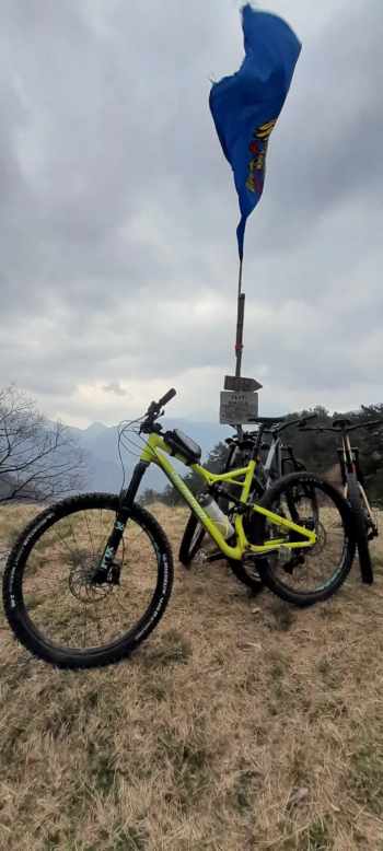
At an elevation of 1,210 you leave the road and climb right up the grassy slope until you cross the path that descends along the west slope of Mount Duron; a boulder path covered with leaves, smooth but with some pitfalls (difficulty S2), crosses a forestry road and continues until it comes out on the communal road that takes us to Sella Marcelie. From here the last ascent is partly pedaled and partly pushed up the slope that goes up Monte Spin; when you reach the top of the pass with the flag, you take the path to the left that goes up again to the summit of Monte Spin. From there a marvelous view of the Tolmezzo valley prelude to the marvelous descent to Terzo; beautiful varied and narrow path but all rideable (always follow the signs to Terzo) with some rocky sections to be ridden safely to enjoy its continuous track changes. Coming out of Terzo on the bike path you reach the parking lot.
Thanks to those who keep these wonderful trails clean from crashes (cit. Claudio Leschiutta)