
 Italiano
 Deutsch
Corna Trenta Passi - Malga Aguina

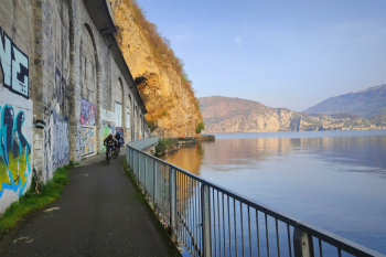
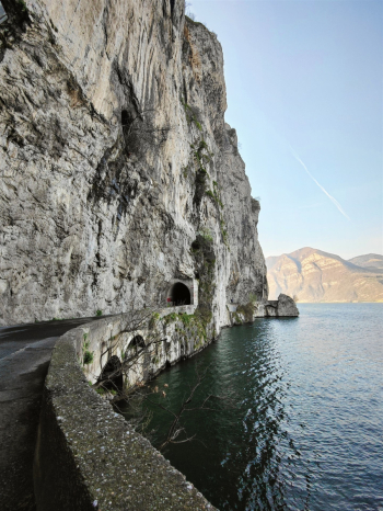
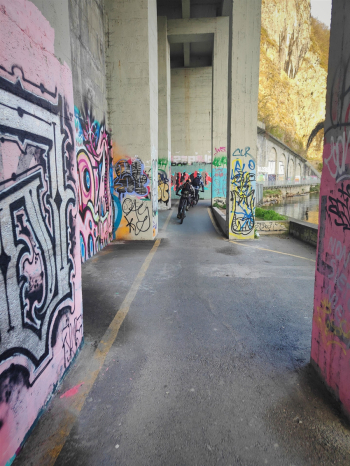
Top views, flowing and technical descents, you can say that nothing is missing from this ride. Start from Pisogne in convenient parking lot where in some areas there is no time disk. We follow the beautiful bike path to Marone (check if it is closed for works). We found a barrier at the entrance from Vello so we got back on the provincial road and did the last km on the road.
We continued from the state road that climbs to Zone, from which we could admire the famous Pyramids of Zone, and continued on the cemented road that climbs to the Western Fork Trenta Passi, a rideable road but with very challenging gradients (with peaks of 20/25%). From a short trail that is partly rideable by MTB, and almost all rideable by Emtb (with the right technique), we arrive at the Zuf dropout.
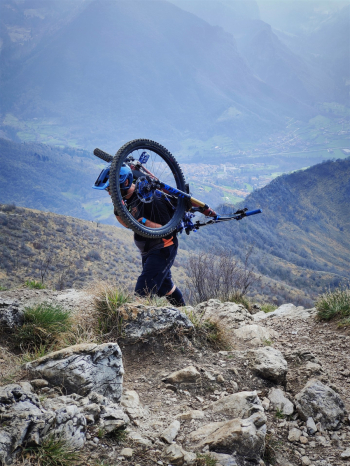
From here it's about 180 meters (20/30mins)push/shoulder to the summit; the trail is wide enough not to make the climb too uncomfortable, and up to below the anticima it can be done comfortably by walk, while the last 30 meters before the summit would be more comfortable with a shoulder bike. In general it is not one of the climbs that is too uncomfortable and during which we can study how to do it again on the descent.
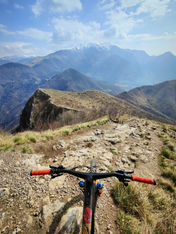
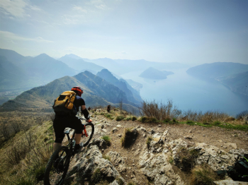
Once at the top we can admire the panorama of the lake with a view of Montisola and prepare for the descent. The Corna Trentapassi trail is mostly on the ridge with a very rocky, loose bottom, the rock is limestone but with an exaggerated grip. On the same trail there are several parallel routes and depending on the one chosen the descent can be more or less technical (S3 to S4). On some of these routes there are short, partly exposed sections that are quite avoidable.
Back at Focellino del Zuf, wanting to choose less technical tracks we keep to the left or following the trail we descend from a spectacular technical trail with several S3 passages on rock with exaggerated grip; the trail allows us to reconnect comfortably with the ascent to the western Trentapassi Fork.
From here begins a trail that connects the Zone cross pass. Starting at the fork, the first part of the trail is an easy S2 slightly downhill, then it becomes little to no pedalable single track with several climbs and descents and then, after a couple of technical passages, becomes a super-correctable S1.
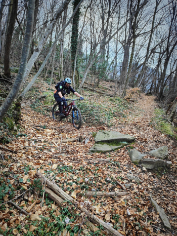
We continue by beaten road with comfortable and steady gradient leading to Malga Aguina. Now begins the second and last spectacular descent of the tour, a not very beaten trail where you can enjoy brushing leaves, mainly earthy bottom and very steep in places (avoid when wet).
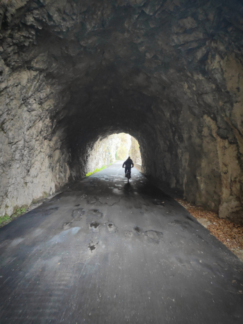
When you reach Grasso alto keep to the right and after about 200 meters less interesting we arrive at the Pisogne quarries trail, with some technical passages.
Thanks ClaudioP77 for the video
Trail style: AM
Personal rating: views 10/10; Descents 8/10 (too bad for some burned meters on dirt road at the end of the lap).
MTB: yes
EMTB: yes (be careful pushing sections)
Duration about 5h (in Mtb)
Portage: yes about 200 meters push/shoulder .
Difficulty climb: very challenging in places.
Difficulty descent: first part S3+, second part S2.
Exposed: a few sections but still well manageable.
Draining: horns 30 paces yes (but wait for rock to dry), malga aguina not draining


