Fobia, Perlè, Crench, Rio Secco, Cler, Lago d'Idro
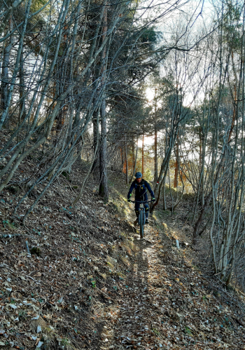
Don't be fooled by the modest elevations, this AM, or as I call it cyclo-preneur, ride is a lot of fun, concatenates three nice technical descents, leads to exciting views and splendid glimpses of Lake Idro. Ideal in winter time but not only. Recommended for fairly experienced bikers, the descents have quite difficult sectors and some exposed sections to be tackled very carefully. The ideal bike is a full enduro, AM. There are short shoulder sections to reach Monte Croce di Perlè, and Cima Crench.
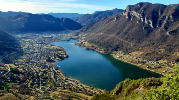
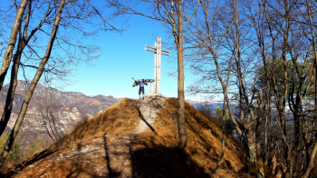
Departing from the church of Idro (parking lot), about 350 meters, we go up the paved road that leads to Treviso Bresciano. Reaching the rustic village, home of the Brescian spit, we continue in the direction of the Fobia pass, 1112 meters, which we reach. Here begins the first descent that descends to the Gola di Meghè, 968m. Bikes on our shoulders we briefly climb to Croce di Perlè, 1031m., not to be missed because of the view and the short but technical and challenging descent.
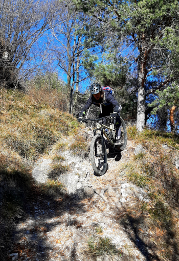
Back at Meghè Gorge, we turn left in the direction of Sella di Preonde. The path at first descends with narrow hairpin bends, very challenging and then with a fantastic half slope, until the last stretch where you have to be very ATTENTION to the exposure in order not to end up in some escarpment, the path here is quite narrow.
When we reach the Preonde saddle we take the path to the left that shortly leads to a further saddle, the Cocca d'Idro. From here we put the bike on the shoulder up to Cima Crench, 780 meters. The second, short descent begins by retracing our steps, rather steep with tight switchbacks to the saddle, where turning right we descend a rocky but fairly smooth path. At one last care on the left, before crossing the paved road, we continue straight down a short steep slope. Reaching the road at a hairpin bend we keep to the right, continuing along the path that soon ends on a small road. We descend a little further until we cross the road going toward Vesta.
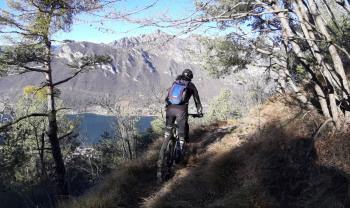
Now, in climbing trim, we skirt the lake until we reach the locality Vantone, here turning right we go up a stony-bottomed small road that goes up the small valley of the Rio Vantone, ending on the asphalt road that from Idro goes up to Capovalle, just beyond the Ponte di Campei. We go up the bitumata until the last hairpin turn, elevation 900, just before San Rocco Pass. We now turn right in the direction of the Sanctuary Madonna del Rio Secco and Cavallino della Fobia Pass. Past the splendid Sanctuary the road flattens out and at the point where it turns left, at an elevation of about 990 meters, the path of the last descent starts from a small gravelly square. This is also very fun and technical and, passing by the Cler barns, ends along the small road of Rio Vantone. Returning to the Vantone locality back to Idro and the starting point.


 Italiano
 Deutsch