Italiano
 Deutsch
Tignale Super Enduro edizione speciale 2024

Special Edition for 2024 a revised and redesigned version of the Super Enduro in Tignale on Lake Garda. A sensational tour made of lots of flow....
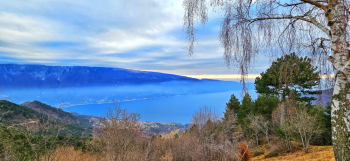
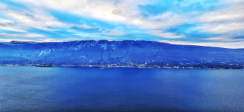
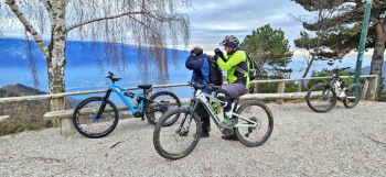
That Tignale is a magnificent location on the #garda no one can question it. Draining terrain, perfect conditions and sublime views are the right ingredients for a spectacular experience. There are three climbs and three descents that have a logical order to follow to get the most out of this Super Enduro. We park under Mount Cas and climb up to the Cima Piemp hut on a secondary road. The first descent we will face is the TIGNALE DH that starts right from the wooden steps under the flag. Immediately steep with switchbacks then it becomes more docile. Some traverse trees in the finish to overcome and then flow again. We climb this time until just past the Piemp house and take the direct to the flag where the TIGNALE TORNANTINI trail begins. A serpentine of switchbacks in beautiful underbrush then final flow toward Tignale. We ascend for the last time and just before the refuge we detour on the left hairpin bend to Val delle Fornaci. All pedaled until the intersection with the dirt road that leads toward Passo d'Ere. After about 300 meters we deviate to the right one last tear and relaunch and the pure lust begins. That is, the TIGNALE EXTENDED FLOW EMOTION. We are talking about 5 km of all-flow descent with no major difficulties, one of the longest trails in Garda and above all exciting. The rule is: open brakes and guaranteed fun. Once you reach the vicinity of the cars, all you will have to do is sip a good beer.
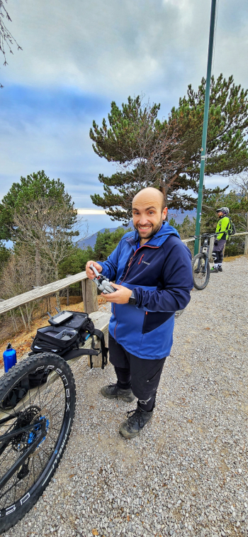
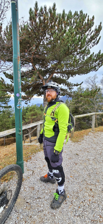
RECOMMENDED ROUTE FOR MOUNTAIN BIKE and/or E-BIKE ALL MOUNTAIN.
NB: At the time of entry this ride is all doable without any particular problems. We disclaim any responsibility for any inconvenience due to lack of maintenance of the trails or deterioration of the same due to external and/or natural agents and a wrong assessment of the tour.