Da Torri del Benaco a Pai di Sopra e il Ponte Tibetano
Short, intense ride between Torri del Benaco and Pai di Sopra via Crero and the Tibetan Bridge. Up to Spighetta nothing new for those who MTB the #garda Veronese. From Spighetta we ride the first part of the Crero descent (years ago the site of a special test of the Garda Enduro) that with wet and slippery stones becomes delicate and challenging. Magnificent are the views we encounter on the long descent all the way down to the shores of the lake. In winter and with clear days the colors are truly incredible.
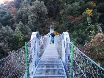
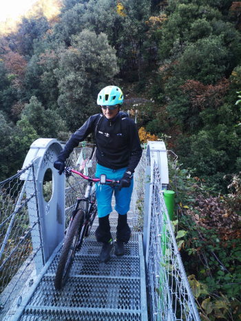
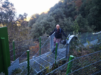
The climb to Pai di Sopra and then to the Tibetan Bridge is pretty tough with ramps that are truly remarkable as a slope. The crossing of the Tibetan Bridge, done of course with a push bike, presents no particular problems: the width of the bridge allows one to proceed easily with the bike on one's side. Before and after the bridge some short pushing sections have to be done because of the steep and very rocky trail. Along this stretch pay attention to the ever-frequent hikers.
From the bridge and up to Torri, passing again through Crero, you face a long traverse with still magnificent views. In this section you face some poisonous ramps due to the slope and very uneven terrain.
Note - the loop between Crero, Pai di Sopra and the Tibetan bridge can also be done counterclockwise. In this case perhaps (to be checked) the push sections before and after the bridge could be shorter. There would still be the very hard climb from the lakeshore back to Crero. I remember riding it years ago and finding it really tough. Definitely tougher than the one that goes through Pai di Sopra.


 Italiano
 Deutsch